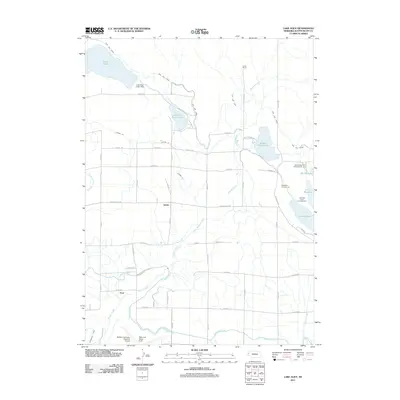
2011 Map of Lake Alice
USGS Topo · Published 2011About this map
Lake Alice and Lake Minatare anchor this high plains landscape in Scotts Bluff County, where a sophisticated network of irrigation infrastructure transformed the arid terrain. The High Line Canal, Tri-State Canal, and Enterprise Canal cut across the region, feeding various reservoirs and smaller channels like Lateral 24. This water management system supported local agricultural interests and small hubs such as James and Trout. Near the western edge, the Western Nebraska Regional Airport and William B Heilig Field serve as modern landmarks, while the Gueck Ranch represents the area's deeper ranching roots. Recreational development is evident along the shores of Lake Minatare, which features the Scouts Rest Campground and Lakeview Point Campground. The map reveals how the diversion of Winters Creek through various dams and drains created a highly managed hydrologic environment central to the community's survival and growth.
Find a feature on this map
48 named features on this map. Tap any name to fly to it.
Don’t see what you’re looking for? This feature index may not catch every label — zoom into the map to look around manually.
Map Details
Editions of this 2011 Lake Alice Map
This is the sole edition of this map. No revisions or reprints were ever made.
Other maps of this area

1898 · Scotts Bluff
USGS Topo · 1:125,000

1898 · Camp Clarke
USGS Topo · 1:125,000

1899 · Whistle Creek
USGS Topo · 1:125,000

1951 · Kilpatrick Lake
USGS Topo · 1:62,500

1954 · Scottsbluff
USGS Topo · 1:250,000

1955 · Alliance
USGS Topo · 1:250,000

1957 · Alliance
USGS Topo · 1:250,000

1958 · Alliance
USGS Topo · 1:250,000

1958 · Scottsbluff
USGS Topo · 1:250,000

1963 · Scottsbluff South
USGS Topo · 1:24,000