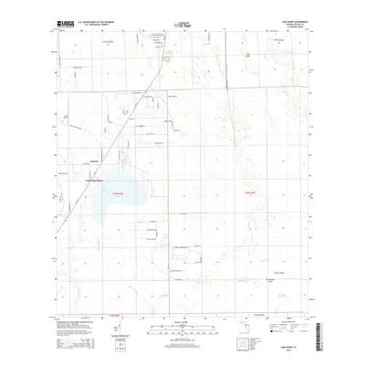
2015 Map of Lake Ashby
USGS Topo · Published 2015About this map
Lake Ashby anchors this central Florida landscape, serving as a focal point for the surrounding communities of Alamana and Lake Ashby Shores. The map reveals a sophisticated hydrological network of managed waterways, including the Samsula Canal, Lake Ashby Canal, and Sandy Drain, which navigate the low-lying terrain to support local land use.
Find a feature on this map
67 named features on this map. Tap any name to fly to it.
Don’t see what you’re looking for? This feature index may not catch every label — zoom into the map to look around manually.
Map Details
Editions of this 2015 Lake Ashby Map
This is the sole edition of this map. No revisions or reprints were ever made.
Other maps of this area
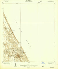
1937 · Port Orange
USGS Topo · 1:48,000
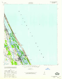
1943 · Port Orange
USGS Topo · 1:62,500
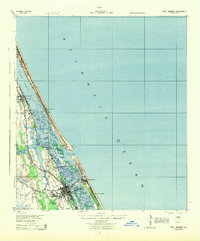
1944 · Port Orange
USGS Topo · 1:62,500
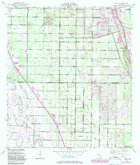
1949 · Osceola
USGS Topo · 1:24,000
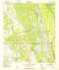
1950 · Maytown
USGS Topo · 1:24,000
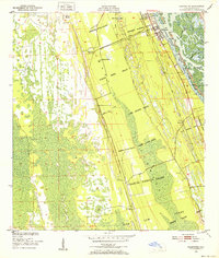
1950 · Edgewater
USGS Topo · 1:24,000
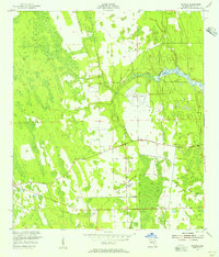
1952 · Samsula
USGS Topo · 1:24,000
1954 · Daytona Beach
USGS Topo · 1:250,000

1955 · Orlando
USGS Topo · 1:250,000
1956 · New Smyrna Beach
USGS Topo · 1:24,000