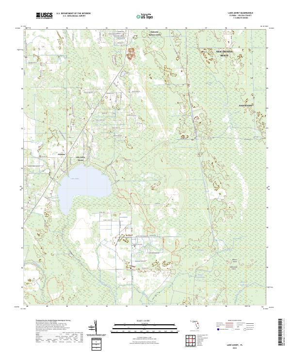
2024 Map of Lake Ashby
USGS Topo · Published 2024About this map
Lake Ashby and its surrounding wetlands form the central focus of this landscape in southern Volusia County. The area is defined by an intricate network of water management features and conservation lands, including the Lake Ashby Canal, Samsula Canal, and the expansive Spruce Creek Swamp. While the eastern edge of the map shows the suburban expansion of New Smyrna Beach and Edgewater, the western portion retains its rural character with the small settlements of Alamana and Lake Ashby Shores. A significant portion of the terrain is dedicated to nature preservation, featuring the Deep Creek Preserve Trl and the Wiregrass Prairie Preserve Trl. These protected areas, alongside landmarks like Buzzards Roost Lake and Rattlesnake Island, highlight the region's enduring character as a complex hydrological basin where managed canals meet natural cypress heads.
Find a feature on this map
80 named features on this map. Tap any name to fly to it.
Don’t see what you’re looking for? This feature index may not catch every label — zoom into the map to look around manually.
Map Details
Editions of this 2024 Lake Ashby Map
This is the sole edition of this map. No revisions or reprints were ever made.
Other maps of this area

1937 · Port Orange
USGS Topo · 1:48,000

1943 · Port Orange
USGS Topo · 1:62,500

1944 · Port Orange
USGS Topo · 1:62,500

1949 · Osceola
USGS Topo · 1:24,000

1950 · Maytown
USGS Topo · 1:24,000

1950 · Edgewater
USGS Topo · 1:24,000

1952 · Samsula
USGS Topo · 1:24,000

1954 · Daytona Beach
USGS Topo · 1:250,000

1955 · Orlando
USGS Topo · 1:250,000

1956 · New Smyrna Beach
USGS Topo · 1:24,000