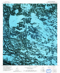
1973 Map of Lake Batola
USGS Topo · Published 1993About this map
Lake Batola and the intricate coastal wetlands of Plaquemines Parish appear in this early 1970s orthophotomap, showing a landscape dominated by tidal hydrology and industrial extraction. The transition between open water and marsh is traced through named passages such as Alligator Pass and Bayou Long, which connect larger bodies like Grand Lake to the labyrinthine network of the delta. This era represents a period of significant activity for the energy industry in south Louisiana, evidenced by the expansive Delacroix Oil and Gas Field and several scattered Drill Holes. The map provides an overhead view of the fragile marsh structure before decades of coastal erosion, preserving the location of local landmarks like The Garigue and the winding Aux Chenes River.
Find a feature on this map
28 named features on this map. Tap any name to fly to it.
Don’t see what you’re looking for? This feature index may not catch every label — zoom into the map to look around manually.
Map Details
Editions of this 1973 Lake Batola Map
2 editions found
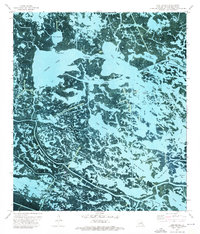
Other maps of this area

1891 · Pointe a La Hache
USGS Topo · 1:62,500

1892 · St. Bernard
USGS Topo · 1:62,500

1892 · Pointe a La Hache
USGS Topo · 1:62,500

1893 · Shell Beach
USGS Topo · 1:62,500

1893 · Dime
USGS Topo · 1:62,500

1935 · Delacroix
USGS Topo · 1:31,680

1935 · Lake Batola
USGS Topo · 1:31,680

1939 · Shell Beach
USGS Topo · 1:62,500

1939 · Pointe a La Hache
USGS Topo · 1:62,500
1940 · Belle Chasse
USGS Topo · 1:31,680