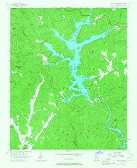
1957 Map of Lake Burton
USGS Topo · Published 1967About this map
Lake Burton dominates the center of this Georgia landscape, its irregular shoreline reaching deep into the forested valleys of the Chattahoochee National Forest. In the late 1950s, the area reflects a transition toward recreational and conservation uses, evidenced by the State Fish Hatchery along Moccasin Creek and the Scenic Highway skirting the western ridges. Despite the growing presence of the reservoir, older patterns of life remain visible through isolated family and community landmarks like Stoneycipher Cem and Burton Cem.
Find a feature on this map
72 named features on this map. Tap any name to fly to it.
Don’t see what you’re looking for? This feature index may not catch every label — zoom into the map to look around manually.
Map Details
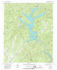
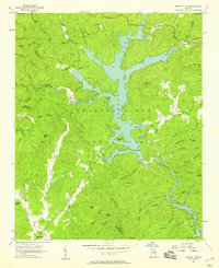
Editions of this 1957 Lake Burton Map
Other maps of this area

1886 · Dahlonega
USGS Topo · 1:125,000

1886 · Walhalla
USGS Topo · 1:125,000

1892 · Dahlonega
USGS Topo · 1:125,000

1892 · Walhalla
USGS Topo · 1:125,000

1896 · Walhalla
USGS Topo · 1:125,000

1896 · Dahlonega
USGS Topo · 1:125,000

1903 · Dahlonega
USGS Topo · 1:125,000

1935 · Osborn
USGS Topo · 1:24,000

1935 · Dillard
USGS Topo · 1:24,000

1935 · Hightower Bald
USGS Topo · 1:24,000