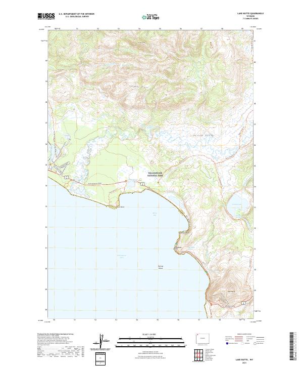
2021 Map of Lake Butte
USGS Topo · Published 2021About this map
Yellowstone National Park reveals a dynamic thermal and topographic landscape along the northeast shores of Yellowstone Lake. High points such as Stonetop Mtn and the Sulphur Hills overlook the expansive Pelican Valley, a region defined by its hydrogeological activity. Numerous thermal features are clustered near the shoreline and inland, including Steamboat Springs, Beach Springs, and Turbid Springs. The map illustrates the transition from the aquatic environment of Mary Bay and Pelican Roost to the high elevations of Lake Butte. The intricate trail system, featuring the Howard Eaton Trail and Pelican Creek Trail, reflects the area's long-standing use for recreation and scientific study. Grounded in the early 21st century, the survey also records infrastructure like the East Entrance Road and the Fishing Bridge RV facilities, highlighting the park's dual role as a wilderness preserve and a destination for modern travelers.
Find a feature on this map
44 named features on this map. Tap any name to fly to it.
Don’t see what you’re looking for? This feature index may not catch every label — zoom into the map to look around manually.
Map Details
Editions of this 2021 Lake Butte Map
This is the sole edition of this map. No revisions or reprints were ever made.
Other maps of this area

1885 · Lake
USGS Topo · 1:125,000

1886 · Canyon
USGS Topo · 1:125,000

1895 · Canyon
USGS Topo · 1:125,000

1895 · Lake
USGS Topo · 1:125,000

1896 · Lake
USGS Topo · 1:125,000

1896 · Canyon
USGS Topo · 1:125,000

1901 · Canyon
USGS Topo · 1:125,000

1901 · Lake
USGS Topo · 1:125,000

1906 · Lake
USGS Topo · 1:125,000

1907 · Canyon
USGS Topo · 1:125,000