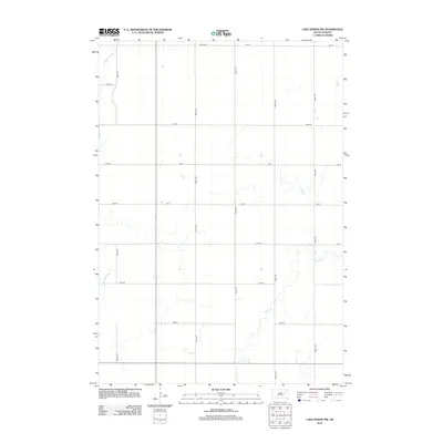
2012 Map of Lake Byron NW
USGS Topo · Published 2012About this map
Irving Cem sits in the northern reaches of this rural Spink County landscape, serving as a primary point of interest for genealogists tracing family histories in Antelope Township. The terrain is defined by a sparse, grid-like road network and the winding path of Foster Cr, which meanders through the eastern and southern portions of the territory. This 2012 survey illustrates a quiet agricultural area where section lines are strictly maintained by routes such as 399th Ave and 182 St. The map reflects the enduring rural character of South Dakota, showing the relationship between small watercourses and the established township parcels that have structured the region for generations.
Find a feature on this map
18 named features on this map. Tap any name to fly to it.
Don’t see what you’re looking for? This feature index may not catch every label — zoom into the map to look around manually.
Map Details
Editions of this 2012 Lake Byron NW Map
This is the sole edition of this map. No revisions or reprints were ever made.
Other maps of this area

1895 · Byron
USGS Topo · 1:125,000

1953 · Huron
USGS Topo · 1:250,000

1954 · Huron
USGS Topo · 1:250,000

1956 · Lake Byron NW
USGS Topo · 1:24,000

1956 · Glendale Colony
USGS Topo · 1:24,000

1956 · Lake Byron
USGS Topo · 1:24,000

1956 · Spink Colony
USGS Topo · 1:24,000

1956 · Doland SW
USGS Topo · 1:24,000

1956 · Lake Byron SE
USGS Topo · 1:24,000

1956 · Hitchcock SE
USGS Topo · 1:24,000
Featured Places
- Antelope Township, SD
- Harrison Township, SD
- Lincoln Township, SD
- Cornwall Township, SD
- Beadle County, SD