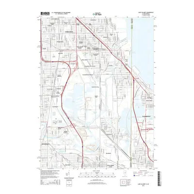
2015 Map of Lake Calumet
USGS Topo · Published 2015About this map
Chicago's industrial South Side and the Indiana borderlands are meticulously detailed in this recent survey, capturing the complex geography of the Calumet region. The landscape is defined by the heavy infrastructure of the Calumet River and Grand Calumet River, which weave through historic residential enclaves and massive industrial zones. Notable neighborhoods like Pullman and South Deering are shown alongside legacy housing such as Arcade Row and Honeymoon Row, reflecting the area's deep ties to labor and manufacturing history. The map also documents significant educational institutions, including Chicago State Univ and the City Colleges of Chicago-Olive-Harvey Coll. Open water and wetlands remain central to the area's character, with Lake Calumet, Wolf Lake, and the surrounding marshy ponds like Dead Stick Pond providing a stark contrast to the dense grid of the surrounding city.
Find a feature on this map
66 named features on this map. Tap any name to fly to it.
Don’t see what you’re looking for? This feature index may not catch every label — zoom into the map to look around manually.
Map Details
Editions of this 2015 Lake Calumet Map
This is the sole edition of this map. No revisions or reprints were ever made.
Other maps of this area

1889 · Chicago
USGS Topo · 1:62,500

1891 · Chicago
USGS Topo · 1:62,500

1892 · Calumet
USGS Topo · 1:62,500

1893 · Calumet
USGS Topo · 1:62,500

1900 · Chicago
USGS Topo · 1:62,500

1900 · Toleston
USGS Topo · 1:62,500

1900 · Calumet
USGS Topo · 1:62,500

1901 · Calumet
USGS Topo · 1:62,500

1901 · Chicago
USGS Topo · 1:62,500

1929 · Calumet Lake
USGS Topo · 1:24,000