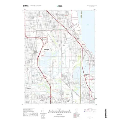
2018 Map of Lake Calumet
USGS Topo · Published 2018About this map
Pullman National Monument stands as a focal point of this industrial and residential landscape, marking the historic planned community on the south side of Chicago. This area is defined by a complex intersection of heavy industry and vital waterways, where the Calumet River and Calumet Sag Channel link the massive expanse of Lake Calumet to Lake Michigan. The map illustrates the late-2010s urban fabric across neighborhoods like South Deering, Burnside, and the model industrial town of Pullman.
Find a feature on this map
121 named features on this map. Tap any name to fly to it.
Don’t see what you’re looking for? This feature index may not catch every label — zoom into the map to look around manually.
Map Details
Editions of this 2018 Lake Calumet Map
This is the sole edition of this map. No revisions or reprints were ever made.
Other maps of this area

1889 · Chicago
USGS Topo · 1:62,500

1891 · Chicago
USGS Topo · 1:62,500

1892 · Calumet
USGS Topo · 1:62,500

1893 · Calumet
USGS Topo · 1:62,500

1900 · Chicago
USGS Topo · 1:62,500

1900 · Toleston
USGS Topo · 1:62,500

1900 · Calumet
USGS Topo · 1:62,500

1901 · Calumet
USGS Topo · 1:62,500

1901 · Chicago
USGS Topo · 1:62,500

1929 · Calumet Lake
USGS Topo · 1:24,000