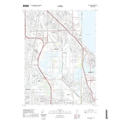
2021 Map of Lake Calumet
USGS Topo · Published 2021About this map
Pullman National Monument anchors the western portion of this industrial and residential landscape, marking the historic planned community of Pullman. The map documents a complex aquatic geography where the Calumet River and Grand Calumet River connect a network of significant water bodies, including Lake Calumet, Wolf Lake, and the southern tip of Lake Michigan. These waters are surrounded by vital ecological zones such as the Hyde Lake Wetlands, Indian Ridge Marsh, and Hegewisch Marsh.
Find a feature on this map
111 named features on this map. Tap any name to fly to it.
Don’t see what you’re looking for? This feature index may not catch every label — zoom into the map to look around manually.
Map Details
Editions of this 2021 Lake Calumet Map
This is the sole edition of this map. No revisions or reprints were ever made.
Other maps of this area

1889 · Chicago
USGS Topo · 1:62,500

1891 · Chicago
USGS Topo · 1:62,500

1892 · Calumet
USGS Topo · 1:62,500

1893 · Calumet
USGS Topo · 1:62,500

1900 · Chicago
USGS Topo · 1:62,500

1900 · Toleston
USGS Topo · 1:62,500

1900 · Calumet
USGS Topo · 1:62,500

1901 · Calumet
USGS Topo · 1:62,500

1901 · Chicago
USGS Topo · 1:62,500

1929 · Calumet Lake
USGS Topo · 1:24,000