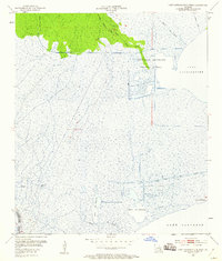
1952 Map of Lake Cataouatche West
USGS Topo · Published 1953About this map
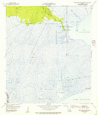
Interconnected waterways and industrial infrastructure dominate this coastal landscape at the junction of St. Charles and Lafourche Parishes. The southern expanse is defined by the open waters of Lake Salvador, including the shallow inlets of Baie des Chactas and Baie du Cabanage. The interior marsh is heavily modified by human activity, most notably the New Orleans Netherlands Drainage District and the sprawling grid of the Bayou Couba Oil Field, which demonstrates the mid-century expansion of petroleum extraction in the Louisiana wetlands.
Find a feature on this map
18 named features on this map. Tap any name to fly to it.
Don’t see what you’re looking for? This feature index may not catch every label — zoom into the map to look around manually.
Map Details
Editions of this 1952 Lake Cataouatche West Map
2 editions found
Other maps of this area

1891 · Hahnville
USGS Topo · 1:62,500

1891 · New Orleans
USGS Topo · 1:62,500

1892 · Barataria
USGS Topo · 1:62,500

1892 · Cut-Off
USGS Topo · 1:62,500

1932 · New Orleans NW
USGS Topo · 1:31,680

1932 · New Orleans SW
USGS Topo · 1:31,680

1932 · Hahnville NW
USGS Topo · 1:31,680

1932 · Hahnville SW
USGS Topo · 1:31,680

1932 · Hahnville NE
USGS Topo · 1:31,680

1935 · Luling
USGS Topo · 1:31,680