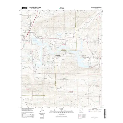
2014 Map of Lake Catherine
USGS Topo · Published 2014About this map
Lake Catherine and the southern reaches of Hot Springs anchor this 2014 survey, where residential developments and recreation define the shoreline. The map documents the intricate interface of water and land along the Ouachita River, featuring established communities like Diamondhead and Shorewood Hills alongside the industrial presence at Jones Mills. Local history is preserved in the location of the Irwin Cem and Price Cem, providing clear points of reference for genealogical research in the area.
Find a feature on this map
144 named features on this map. Tap any name to fly to it.
Don’t see what you’re looking for? This feature index may not catch every label — zoom into the map to look around manually.
Map Details
Editions of this 2014 Lake Catherine Map
This is the sole edition of this map. No revisions or reprints were ever made.
Other maps of this area

1890 · Benton
USGS Topo · 1:125,000

1890 · Hot Springs
USGS Topo · 1:125,000

1894 · Hot Springs
USGS Topo · 1:125,000

1894 · Benton
USGS Topo · 1:125,000

1948 · Malvern
USGS Topo · 1:62,500

1949 · Malvern
USGS Topo · 1:62,500

1955 · Little Rock
USGS Topo · 1:250,000

1956 · Little Rock
USGS Topo · 1:250,000

1960 · Little Rock
USGS Topo · 1:250,000

1964 · Little Rock
USGS Topo · 1:250,000