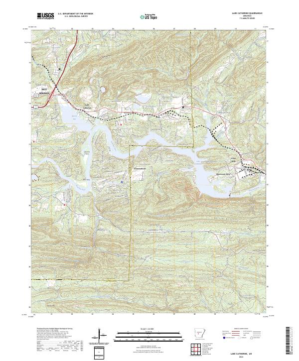
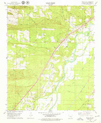
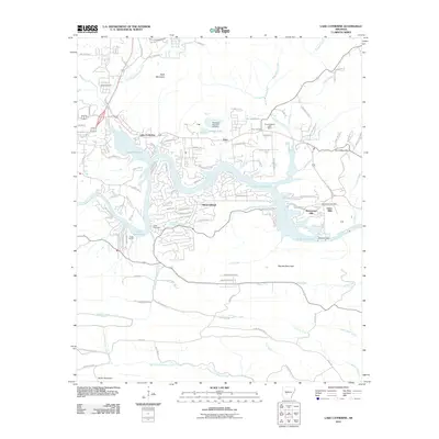
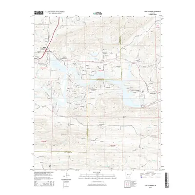
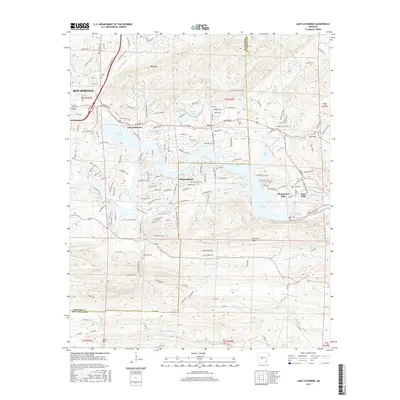
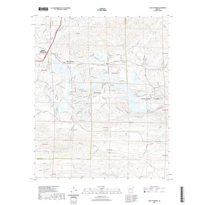
2024 Map of Lake Catherine
USGS Topo · Published 2024About this map
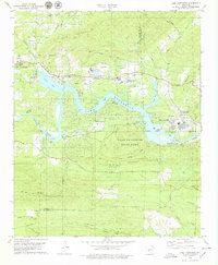
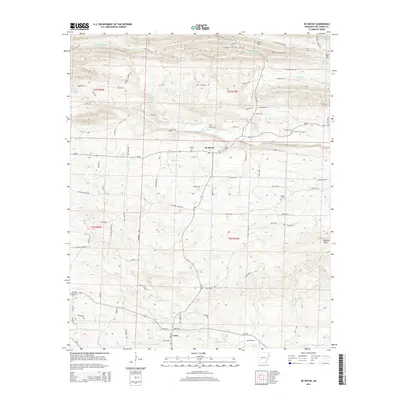
The Ouachita River corridor defines this portion of central Arkansas, where the waterway expands into Lake Catherine and passes through several residential and industrial communities. On the northern shores, the settlement of Price sits near the Price Cem, while the sprawling residential development of Diamondhead occupies a prominent peninsula further west. The landscape transitions from the outskirts of Hot Springs in the northwest corner toward the more industrial character of Jones Mills and Shorewood Hills in the east.
Find a feature on this map
74 named features on this map. Tap any name to fly to it.
Don’t see what you’re looking for? This feature index may not catch every label — zoom into the map to look around manually.
Map Details
Editions of this 2024 Lake Catherine Map
This is the sole edition of this map. No revisions or reprints were ever made.
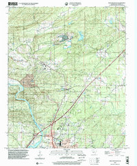
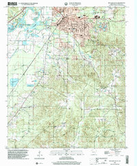
Historical Maps of Hot Springs Through Time
50 maps found
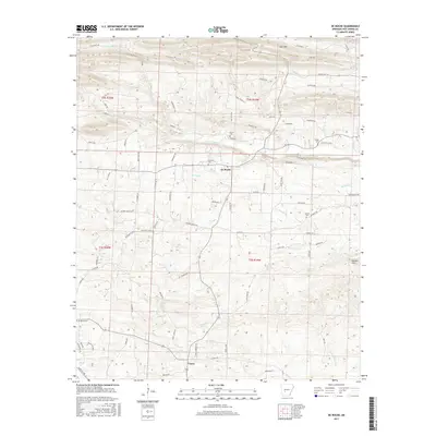
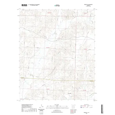
1965 Round Hill
Hot Spring County, AR
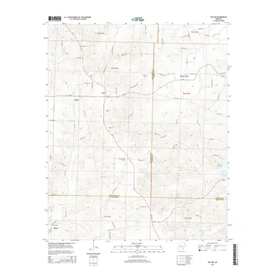
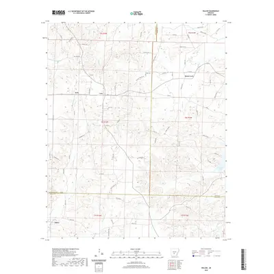
1965 Willow
Hot Spring County, AR
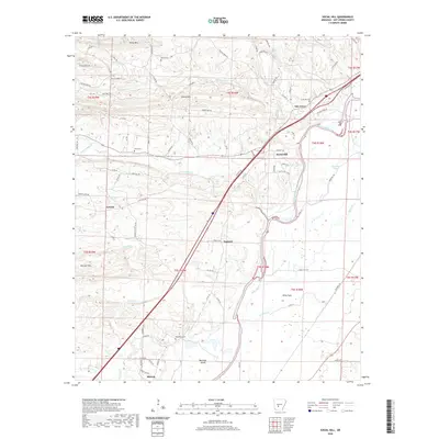
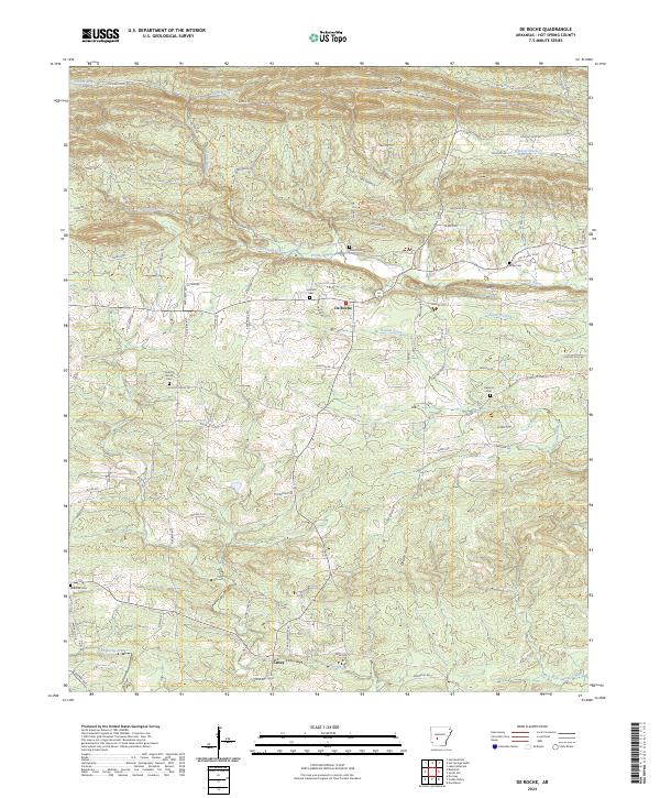
1966 De Roche
Hot Spring County, AR
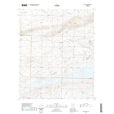
1966 Point Cedar
Hot Spring County, AR
1978 Lake Catherine
Hot Spring County, AR
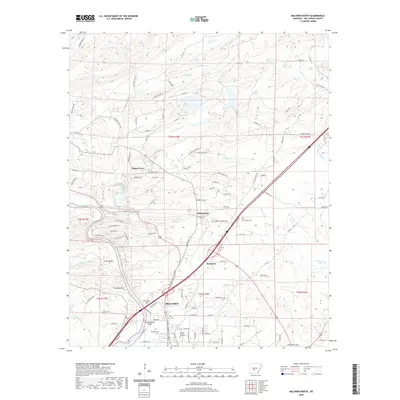
1978 Malvern North
Hot Spring County, AR
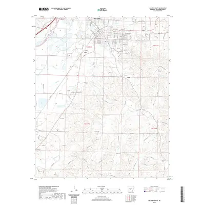
1978 Malvern South
Hot Spring County, AR
1978 Social Hill
Hot Spring County, AR
2000 Malvern North
Hot Spring County, AR
2000 Malvern South
Hot Spring County, AR
2011 De Roche
Hot Spring County, AR
2011 Lake Catherine
Hot Spring County, AR
2011 Malvern North
Hot Spring County, AR
2011 Malvern South
Hot Spring County, AR
2011 Point Cedar
Hot Spring County, AR
2011 Round Hill
Hot Spring County, AR
2011 Social Hill
Hot Spring County, AR
2011 Willow
Hot Spring County, AR
2014 De Roche
Hot Spring County, AR
2014 Lake Catherine
Hot Spring County, AR
2014 Malvern North
Hot Spring County, AR
2014 Malvern South
Hot Spring County, AR
2014 Point Cedar
Hot Spring County, AR
2014 Round Hill
Hot Spring County, AR
2014 Social Hill
Hot Spring County, AR
2014 Willow
Hot Spring County, AR
2017 De Roche
Hot Spring County, AR
2017 Lake Catherine
Hot Spring County, AR
2017 Malvern North
Hot Spring County, AR
2017 Malvern South
Hot Spring County, AR
2017 Point Cedar
Hot Spring County, AR
2017 Round Hill
Hot Spring County, AR
2017 Social Hill
Hot Spring County, AR
2017 Willow
Hot Spring County, AR
2020 De Roche
Hot Spring County, AR
2020 Lake Catherine
Hot Spring County, AR
2020 Malvern North
Hot Spring County, AR
2020 Malvern South
Hot Spring County, AR
2020 Point Cedar
Hot Spring County, AR
2020 Round Hill
Hot Spring County, AR
2020 Social Hill
Hot Spring County, AR
2020 Willow
Hot Spring County, AR
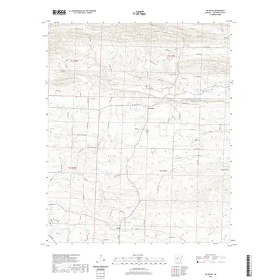
2024 De Roche
Hot Spring County, AR
2024 Lake Catherine
Hot Spring County, AR
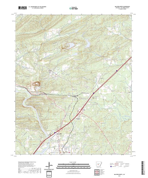
2024 Malvern North
Hot Spring County, AR
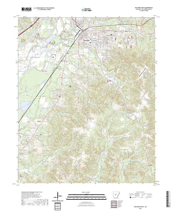
2024 Malvern South
Hot Spring County, AR
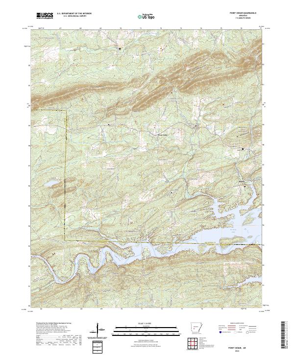
2024 Point Cedar
Hot Spring County, AR
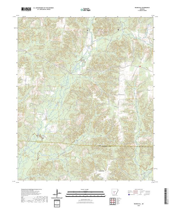
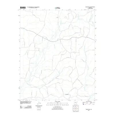
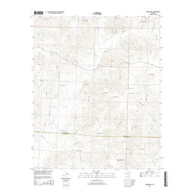
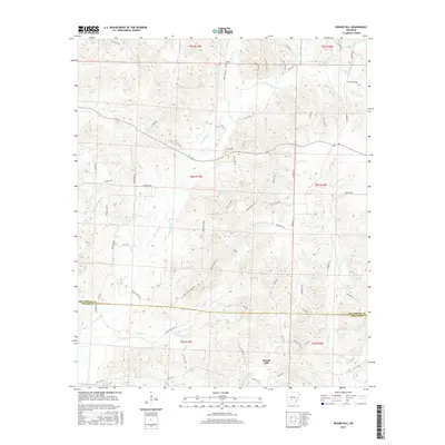
2024 Round Hill
Hot Spring County, AR
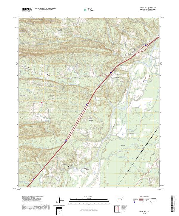
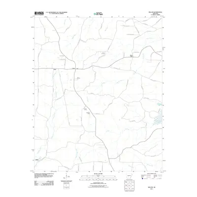
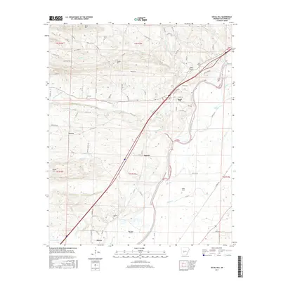
2024 Social Hill
Hot Spring County, AR
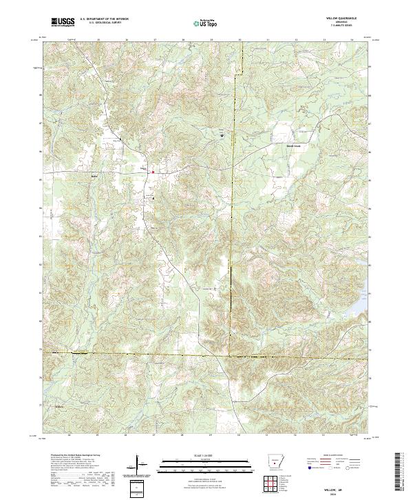
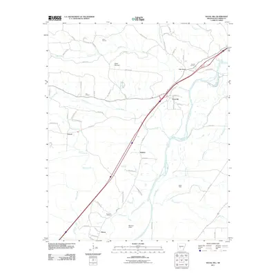
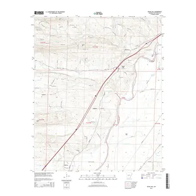
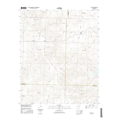
2024 Willow
Hot Spring County, AR