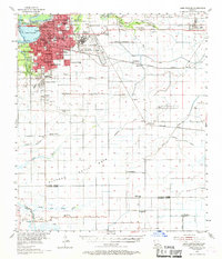
1955 Map of Lake Charles
USGS Topo · Published 1969About this map
Lake Charles dominates this mid-century survey, revealing a landscape defined by postwar expansion and the industrial demands of the Gulf Coast. The presence of Lake Charles Air Force Base and institutions like McNeese State College reflect the city's growth, while the surrounding wetlands are carved by the Intracoastal Waterway and the Calcasieu River. Moving away from the urban center, the map illustrates the region's reliance on mineral extraction, marked by the Iowa Oil and Gas Field and the Holmwood Oil and Gas Field. Rural life remains anchored by family and faith, evidenced by scattered landmarks such as Sweet Lake Ch, St Marys Ch, and the Grand Lake Sch. The intricate network of coulees like Kayouche Coulee and Hippolyte Coulee highlights the complex drainage of the Petit Bois and Plateau regions.
Find a feature on this map
76 named features on this map. Tap any name to fly to it.
Don’t see what you’re looking for? This feature index may not catch every label — zoom into the map to look around manually.
Map Details
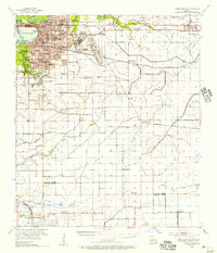
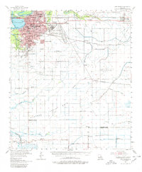
Editions of this 1955 Lake Charles Map
3 editions found
Other maps of this area

1932 · Lake Charles NE
USGS Topo · 1:31,680

1932 · Moss Lake
USGS Topo · 1:31,680

1932 · Lake Charles NW
USGS Topo · 1:31,680

1932 · Lake Charles SW
USGS Topo · 1:31,680

1932 · Lake Charles SE
USGS Topo · 1:31,680

1934 · Lake Misere
USGS Topo · 1:24,000

1934 · Sweet Lake
USGS Topo · 1:24,000

1934 · Boudreaux Lake
USGS Topo · 1:24,000

1935 · Buhler
USGS Topo · 1:31,680

1935 · Moss Bluff
USGS Topo · 1:31,680