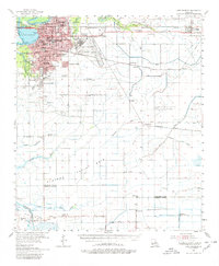
1955 Map of Lake Charles
USGS Topo · Published 1980About this map
Lake Charles and the industrial corridor of the Calcasieu River dominate the northwestern portion of this mid-century survey. The city's growth is evident through its dense network of educational and social institutions, from McNeese State College and St Charles Academy to neighborhood hubs like Barbe Sch and Oak Park Sch. To the east, the Lake Charles Air Force Base occupies a significant footprint, marking the era's military presence.
Find a feature on this map
67 named features on this map. Tap any name to fly to it.
Don’t see what you’re looking for? This feature index may not catch every label — zoom into the map to look around manually.
Map Details
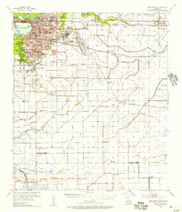
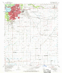
Editions of this 1955 Lake Charles Map
3 editions found
Other maps of this area

1932 · Lake Charles NE
USGS Topo · 1:31,680

1932 · Moss Lake
USGS Topo · 1:31,680

1932 · Lake Charles NW
USGS Topo · 1:31,680

1932 · Lake Charles SW
USGS Topo · 1:31,680

1932 · Lake Charles SE
USGS Topo · 1:31,680

1934 · Lake Misere
USGS Topo · 1:24,000

1934 · Sweet Lake
USGS Topo · 1:24,000

1934 · Boudreaux Lake
USGS Topo · 1:24,000

1935 · Buhler
USGS Topo · 1:31,680

1935 · Moss Bluff
USGS Topo · 1:31,680