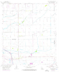
1955 Map of Lake Charles SW
USGS Topo · Published 1976About this map
Petit Bois Plateau dominates the central landscape of this coastal Louisiana region, marking the subtle elevation changes characteristic of the Calcasieu and Cameron Parish borderlands. The mid-century economy is clearly defined by the infrastructure of the Big Lake Oil Field and the South Lake Charles Gas Field, situated amidst a complex drainage network featuring Black Bayou and Coulee Hippolyte. This survey reflects a period of development where traditional rural landmarks like St Elizabeth Ch, St Marys Ch, and Hebert Cem sit alongside the industrial utility of the Intracoastal Waterway and the expansion of the Lake Charles Municipal Airport. A notable feature is the Government Ditch, illustrating early water management efforts in the marshy terrain.
Find a feature on this map
16 named features on this map. Tap any name to fly to it.
Don’t see what you’re looking for? This feature index may not catch every label — zoom into the map to look around manually.
Map Details
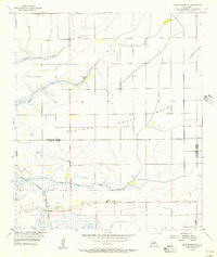
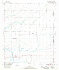
Editions of this 1955 Lake Charles SW Map
3 editions found
Other maps of this area

1932 · Lake Charles NE
USGS Topo · 1:31,680

1932 · Moss Lake
USGS Topo · 1:31,680

1932 · Lake Charles NW
USGS Topo · 1:31,680

1932 · Lake Charles SW
USGS Topo · 1:31,680

1932 · Lake Charles SE
USGS Topo · 1:31,680

1934 · Sweet Lake
USGS Topo · 1:24,000

1934 · Boudreaux Lake
USGS Topo · 1:24,000

1935 · Sweet Lake
USGS Topo · 1:31,680

1935 · Hackberry
USGS Topo · 1:31,680

1935 · Boudreaux Lake
USGS Topo · 1:31,680