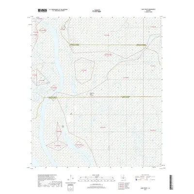
2018 Map of Lake Chicot
USGS Topo · Published 2018About this map
Atchafalaya Basin Floodway dominates this intricate landscape of the Louisiana delta, where Iberville, St. Martin, and Iberia Parishes converge. The area is defined by a dense network of waterways and low-lying landforms, revealing the complex hydrologic character of the basin. Significant channels like Chicot Pass, Florida Canal, and Keelboat Pass weave through a terrain dotted with named high points such as Eagle Island, Hog Island, and Turkey Island. The presence of features like Deadman Bayou, Catfish Bayou, and Sawyers Cove suggests a history of local navigation and fishing in this interior swamp environment. The mapping of Flat Lake and the various passes indicates the critical role water management and natural drainage play in this part of the Atchafalaya basin, serving as a record of the region's environmental state before further shifts in the delta's geography.
Find a feature on this map
26 named features on this map. Tap any name to fly to it.
Don’t see what you’re looking for? This feature index may not catch every label — zoom into the map to look around manually.
Map Details
Editions of this 2018 Lake Chicot Map
This is the sole edition of this map. No revisions or reprints were ever made.
Other maps of this area

1935 · Chicot Lake
USGS Topo · 1:62,500

1937 · Jeanerette
USGS Topo · 1:62,500

1941 · Loreauville
USGS Topo · 1:62,500

1945 · New Orleans
USGS Topo · 1:250,000

1948 · Foster
USGS Topo · 1:62,500

1953 · Crescent
USGS Topo · 1:24,000

1953 · Pigeon Bay
USGS Topo · 1:24,000

1954 · Chicot Lake
USGS Topo · 1:62,500

1954 · Loreauville
USGS Topo · 1:62,500

1954 · Jeanerette
USGS Topo · 1:62,500