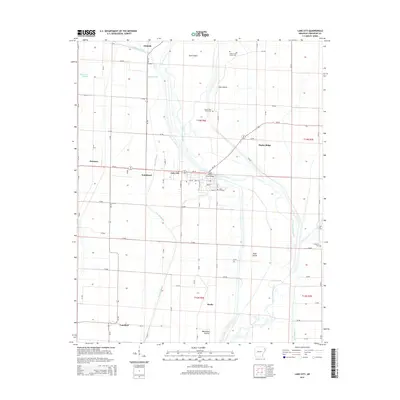
2014 Map of Lake City
USGS Topo · Published 2014About this map
Lake City serves as the focal point of this Arkansas Delta landscape, where the Saint Francis River winds through a complex network of wetlands and agricultural tracts. The geography is defined by a series of geographic "islands" and ridges, such as Gum Island, Cane Island, and Poplar Ridge, which rise above the surrounding lowlands. These higher grounds have long dictated the placement of cemeteries and early settlements. Local history is preserved in several burial sites across the quadrangle, including the Upper Cane Island Cem and the Lower Cane Island Cem, as well as the Lake City Cem near the town center. The drainage patterns of Purcell Slough and Spicewood Slough indicate the alluvial nature of the region, while the Maumelle Prairie in the south provides a distinct terrain shift. Small communities like Southland, Claunch, and Lunsford are linked by a grid of county roads that navigate the waterways and irrigation ditches.
Find a feature on this map
53 named features on this map. Tap any name to fly to it.
Don’t see what you’re looking for? This feature index may not catch every label — zoom into the map to look around manually.
Map Details
Editions of this 2014 Lake City Map
This is the sole edition of this map. No revisions or reprints were ever made.
Other maps of this area

1939 · Jonesboro
USGS Topo · 1:62,500

1940 · Dee
USGS Topo · 1:62,500

1941 · Leachville
USGS Topo · 1:62,500

1941 · Marked Tree
USGS Topo · 1:62,500

1953 · Memphis
USGS Topo · 1:250,000

1956 · Leachville
USGS Topo · 1:62,500

1956 · Marked Tree
USGS Topo · 1:62,500

1956 · Memphis
USGS Topo · 1:250,000

1958 · Dee
USGS Topo · 1:62,500

1958 · Jonesboro
USGS Topo · 1:62,500