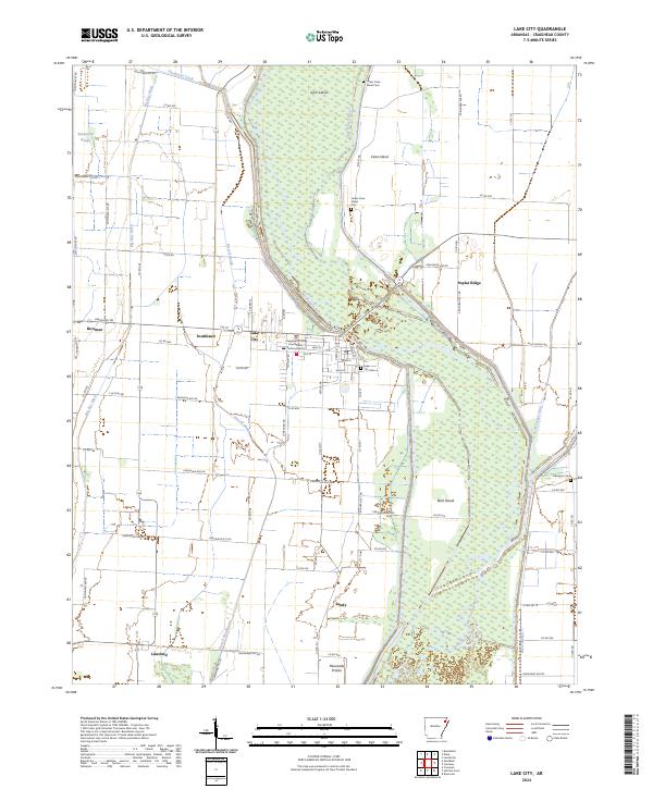
2024 Map of Lake City
USGS Topo · Published 2024About this map
The Saint Francis River winds through the heart of Craighead County, defining the geography of the Lake City area. This landscape is a complex network of waterways and low-lying reaches, including Purcell Slough, Spicewood Slough, and the Big Bay Ditch. The civic center is anchored by the Craighead County Courthouse Eastern District, reflecting the town's administrative role. Outside the main settlement, the land rises to named elevations like Poplar Ridge and Rush Island, while the Maumelle Prairie stretches across the southern portion of the quadrangle.
Find a feature on this map
89 named features on this map. Tap any name to fly to it.
Don’t see what you’re looking for? This feature index may not catch every label — zoom into the map to look around manually.
Map Details
Editions of this 2024 Lake City Map
This is the sole edition of this map. No revisions or reprints were ever made.
Other maps of this area

1939 · Jonesboro
USGS Topo · 1:62,500

1940 · Dee
USGS Topo · 1:62,500

1941 · Leachville
USGS Topo · 1:62,500

1941 · Marked Tree
USGS Topo · 1:62,500

1953 · Memphis
USGS Topo · 1:250,000

1956 · Leachville
USGS Topo · 1:62,500

1956 · Marked Tree
USGS Topo · 1:62,500

1956 · Memphis
USGS Topo · 1:250,000

1958 · Dee
USGS Topo · 1:62,500

1958 · Jonesboro
USGS Topo · 1:62,500