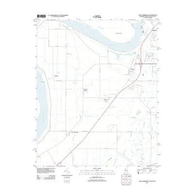
2012 Map of Lake Cormorant
USGS Topo · Published 2012About this map
The Mississippi River defines the western edge of this landscape, where the alluvial bottomlands meet a network of bayous and remnant oxbow lakes. In the early 21st century, the area shows a distinct transition from the agricultural delta toward the growing suburban reach of Southhaven. Local geography is shaped by the complex hydrology of the Horn Lake Cutoff, Mud Lake, and the winding Norfolk Bayou.
Find a feature on this map
63 named features on this map. Tap any name to fly to it.
Don’t see what you’re looking for? This feature index may not catch every label — zoom into the map to look around manually.
Map Details
Editions of this 2012 Lake Cormorant Map
This is the sole edition of this map. No revisions or reprints were ever made.
Other maps of this area

1908 · Lake Cormorant
USGS Topo · 1:24,000

1912 · Lake Cormorant
USGS Topo · 1:31,680

1916 · Memphis
USGS Topo · 1:62,500

1925 · Memphis
USGS Topo · 1:48,000

1927 · Memphis
USGS Topo · 1:62,500

1931 · Horseshoe Lake
USGS Topo · 1:62,500

1932 · Horn Lake
USGS Topo · 1:48,000

1935 · Horn Lake
USGS Topo · 1:62,500

1939 · Horseshoe Lake
USGS Topo · 1:62,500

1939 · Edmondson
USGS Topo · 1:62,500