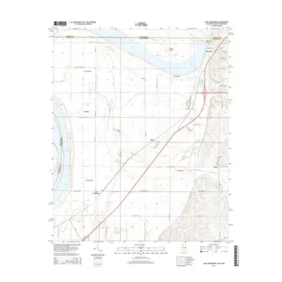
2015 Map of Lake Cormorant
USGS Topo · Published 2015About this map
Mississippi River frontage along the western edge of this Mississippi and Tennessee borderland defines a landscape shaped by water and aviation. In the northern reaches, Horn Lake and Mud Lake sit near the state line, separated by Dooleys Island and the Horn Lake Cutoff. The survey details several established settlements, including the community of Lake Cormorant in the south and Lake View near the northern boundary.
Find a feature on this map
59 named features on this map. Tap any name to fly to it.
Don’t see what you’re looking for? This feature index may not catch every label — zoom into the map to look around manually.
Map Details
Editions of this 2015 Lake Cormorant Map
This is the sole edition of this map. No revisions or reprints were ever made.
Other maps of this area

1908 · Lake Cormorant
USGS Topo · 1:24,000

1912 · Lake Cormorant
USGS Topo · 1:31,680

1916 · Memphis
USGS Topo · 1:62,500

1925 · Memphis
USGS Topo · 1:48,000

1927 · Memphis
USGS Topo · 1:62,500

1931 · Horseshoe Lake
USGS Topo · 1:62,500

1932 · Horn Lake
USGS Topo · 1:48,000

1935 · Horn Lake
USGS Topo · 1:62,500

1939 · Horseshoe Lake
USGS Topo · 1:62,500

1939 · Edmondson
USGS Topo · 1:62,500