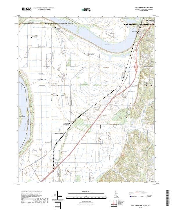
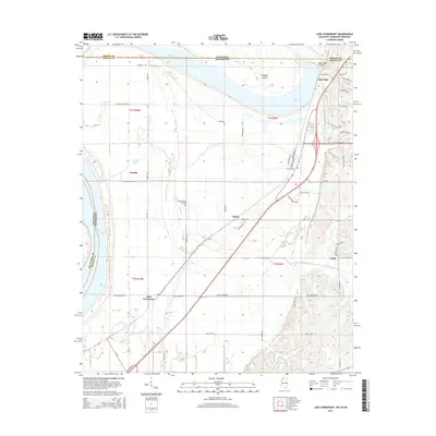
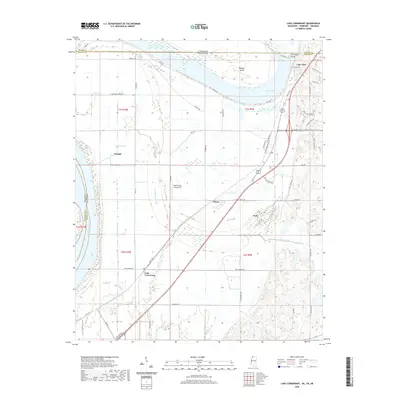
2024 Map of Lake Cormorant
USGS Topo · Published 2024About this map
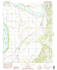
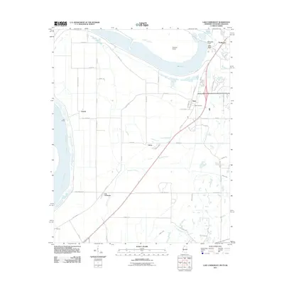
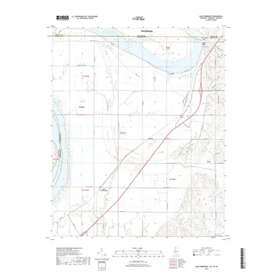
Mississippi River alluvial plains and the high-density road network of the Memphis suburbs meet in this detailed survey of northwest Mississippi. The landscape is defined by the sharp transition between the river lowlands, marked by Horn Lake and the Dead Negro Slough, and the rising bluffs to the east. Numerous faith-based landmarks serve as vital points for family history and genealogy, including Norfolk Baptist Church Cem and the Carroll Bluff Missionary Baptist Church Cem. The settlement at Lake Cormorant and the proximity to the Tennessee-Mississippi border highlight the region's role as a gateway between the Delta and the Memphis metropolitan area. Agriculture remains a visible part of the economy, evidenced by the Delta Flying Service Inc and the extensive levee systems along Levee Rd.
Find a feature on this map
77 named features on this map. Tap any name to fly to it.
Don’t see what you’re looking for? This feature index may not catch every label — zoom into the map to look around manually.
Map Details
Editions of this 2024 Lake Cormorant Map
This is the sole edition of this map. No revisions or reprints were ever made.
Historical Maps of Memphis Through Time
27 maps found

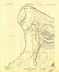
1908 Lake Cormorant
DeSoto County, MS
1912 Lake Cormorant
DeSoto County, MS
1982 Banks
DeSoto County, MS
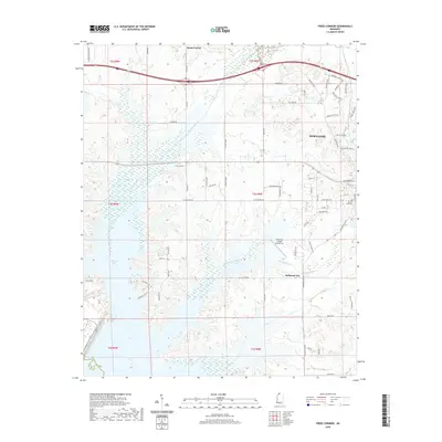
1982 Frees Corners
DeSoto County, MS
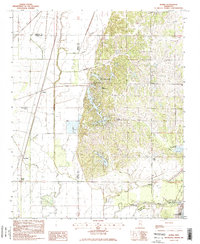
1982 Lake Cormorant
DeSoto County, MS
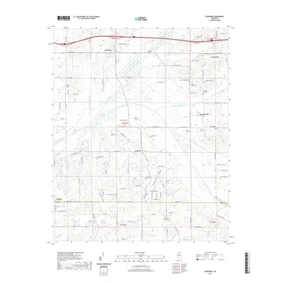
1982 Lewisburg
DeSoto County, MS
2011 Lake Cormorant
DeSoto County, MS
2012 Banks
DeSoto County, MS
2012 Frees Corners
DeSoto County, MS
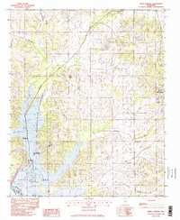
2012 Lake Cormorant
DeSoto County, MS
2012 Lewisburg
DeSoto County, MS
2015 Banks
DeSoto County, MS
2015 Frees Corners
DeSoto County, MS
2015 Lake Cormorant
DeSoto County, MS
2015 Lewisburg
DeSoto County, MS
2018 Banks
DeSoto County, MS
2018 Frees Corners
DeSoto County, MS
2018 Lake Cormorant
DeSoto County, MS
2018 Lewisburg
DeSoto County, MS
2020 Banks
DeSoto County, MS
2020 Frees Corners
DeSoto County, MS
2020 Lake Cormorant
DeSoto County, MS
2021 Lewisburg
DeSoto County, MS
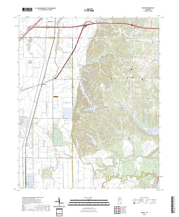
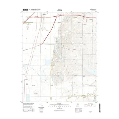
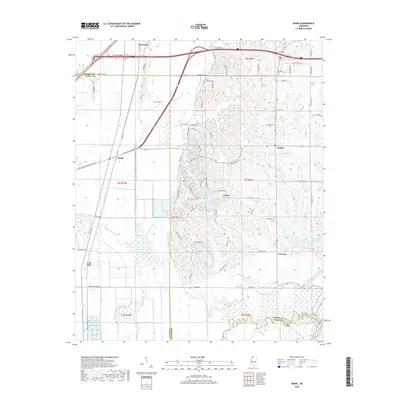
2024 Banks
DeSoto County, MS
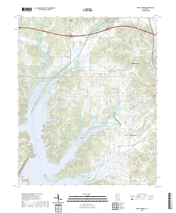
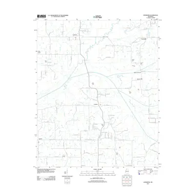
2024 Frees Corners
DeSoto County, MS
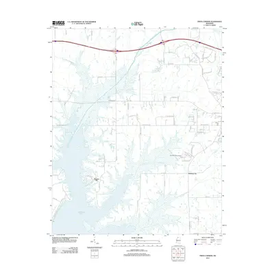
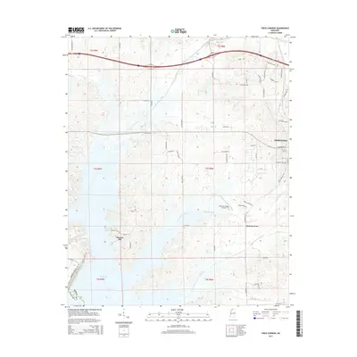
2024 Lake Cormorant
DeSoto County, MS
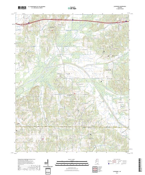
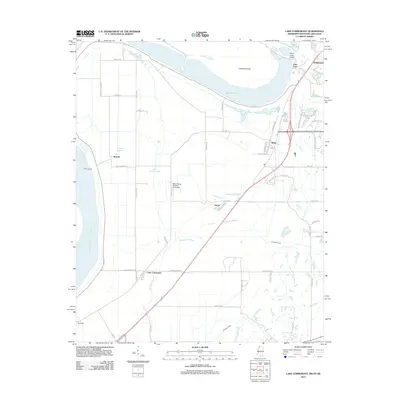
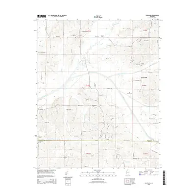
2024 Lewisburg
DeSoto County, MS