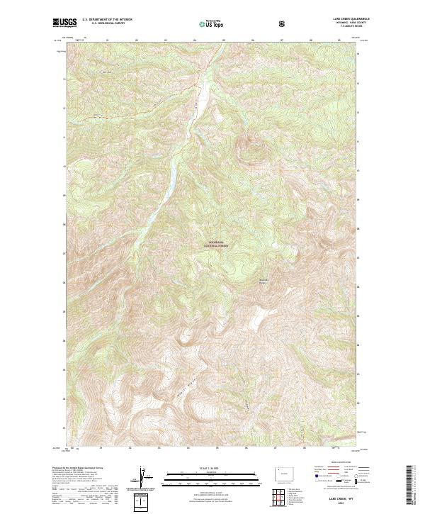
2021 Map of Lake Creek
USGS Topo · Published 2021About this map
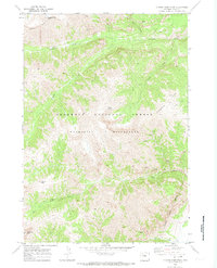
Shoshone National Forest defines the rugged verticality of this Park County landscape, where the high peaks of the Absaroka Range dominate the eastern topography. The drainage system is anchored by the Elk Fork, which collects a network of high-altitude tributaries including Lake Creek, Bloom Creek, and Seclusion Creek. In the southern portion of the sheet, the dramatic elevation of Wapiti Ridge overlooks Barron Creek and the deep incision of Cut Coulee. Access through this wilderness area is marked by established paths such as the Cabin Creek Trail and Cut Coulee Trail, which follow the natural contours of the gulches and ridges. The map illustrates a high-country environment where topographical features like Bear Gulch and Rampart Creek dictate the movement of water and travelers alike, reflecting the remote character of northwest Wyoming's protected lands.
Find a feature on this map
25 named features on this map. Tap any name to fly to it.
Don’t see what you’re looking for? This feature index may not catch every label — zoom into the map to look around manually.
Map Details
Editions of this 2021 Lake Creek Map
This is the sole edition of this map. No revisions or reprints were ever made.
Other maps of this area

1893 · Ishawooa
USGS Topo · 1:125,000

1895 · Ishawooa
USGS Topo · 1:125,000

1899 · Ishawooa
USGS Topo · 1:125,000

1955 · Cody
USGS Topo · 1:250,000

1958 · Cody
USGS Topo · 1:250,000

1962 · Cody
USGS Topo · 1:250,000
1970 · Sheep Mesa
USGS Topo · 1:24,000
1970 · Ptarmigan Mountain
USGS Topo · 1:24,000
1970 · Chimney Rock
USGS Topo · 1:24,000
1970 · Clouds Home Peak
USGS Topo · 1:24,000