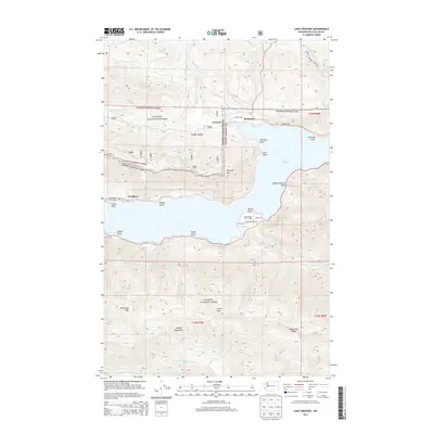
2014 Map of Lake Crescent
USGS Topo · Published 2014About this map
Lake Crescent dominates this portion of the Olympic Peninsula, where the deep waters are framed by steep slopes and a complex shoreline of named points. Small lakeside settlements and landings like Piedmont, Crescent, and Ovington dot the northern shore, connected by Camp David Junior Rd and E Beach Rd. To the south, the terrain rises sharply into the Olympic Mountains, featuring prominent heights such as Sourdough Mtn and Aurora Peak.
Find a feature on this map
46 named features on this map. Tap any name to fly to it.
Don’t see what you’re looking for? This feature index may not catch every label — zoom into the map to look around manually.
Map Details
Editions of this 2014 Lake Crescent Map
This is the sole edition of this map. No revisions or reprints were ever made.
Other maps of this area

1918 · Lake Crescent
USGS Topo · 1:62,500

1919 · Port Crescent
USGS Topo · 1:62,500

1922 · Lake Crescent
USGS Topo · 1:62,500

1935 · Mount Olympus
USGS Topo · 1:62,500

1939 · Mount Tom
USGS Topo · 1:62,500

1942 · Mount Olympus
USGS Topo · 1:62,500

1950 · Mount Muller
USGS Topo · 1:24,000

1950 · Lake Sutherland
USGS Topo · 1:24,000

1950 · Twin Rivers
USGS Topo · 1:24,000
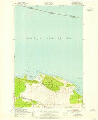
1950 · Joyce
USGS Topo · 1:24,000