
1950 Map of Twin Rivers
USGS Topo · Published 1955About this map
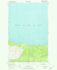
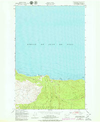
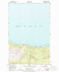
The Strait of Juan de Fuca dominates the northern half of this coastal survey, where the maritime environment meets the heavily timbered slopes of the Olympic National Forest. The map captures a critical segment of the Olympic Peninsula coastline where the West Twin River and East Twin River converge near the shore, creating a small delta-like environment before emptying into the strait. These watercourses, along with Sadie Creek and Murdock Creek, carve deep drainages into the rising terrain, illustrating the hydrologic patterns that shaped early logging and transport access in the region.
Find a feature on this map
9 named features on this map. Tap any name to fly to it.
Don’t see what you’re looking for? This feature index may not catch every label — zoom into the map to look around manually.
Map Details
Editions of this 1950 Twin Rivers Map
4 editions found
Other maps of this area

1918 · Lake Crescent
USGS Topo · 1:62,500

1922 · Pysht
USGS Topo · 1:62,500

1922 · Lake Crescent
USGS Topo · 1:62,500

1942 · Pysht
USGS Topo · 1:62,500

1950 · Mount Muller
USGS Topo · 1:24,000
1950 · Disque
USGS Topo · 1:24,000

1950 · Lake Crescent
USGS Topo · 1:24,000
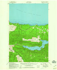
1950 · Lake Crescent
USGS Topo · 1:62,500

1953 · Cape Flattery
USGS Topo · 1:250,000
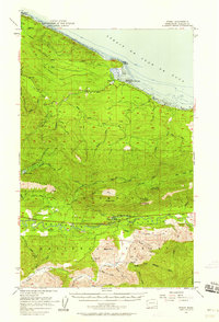
1957 · Pysht
USGS Topo · 1:62,500