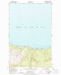
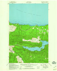
1950 Map of Twin Rivers
USGS Topo · Published 1985About this map
Strait of Juan de Fuca dominates the northern half of this coastal survey, where the shoreline is defined by extensive Tidal Flats and exposed rock outcrops. The small settlement of Twin is situated at the mouth of the West Twin River and East Twin River, serving as a focal point for the coastal topography. To the south, the landscape rises into the protected timberlands of the Olympic National Forest, with the terrain carved by drainages including Sadie Creek and Murdock Creek. Originally surveyed in 1950 and updated with photorevisions in the early 1980s, this map captures the intersection of the rugged Olympic Peninsula coastline and the managed forest interior, documenting the specific bathymetry of the strait alongside the inland creek networks.
Find a feature on this map
9 named features on this map. Tap any name to fly to it.
Don’t see what you’re looking for? This feature index may not catch every label — zoom into the map to look around manually.
Map Details
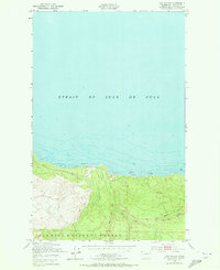
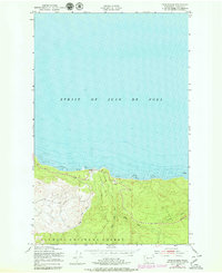
Editions of this 1950 Twin Rivers Map
4 editions found
Other maps of this area

1918 · Lake Crescent
USGS Topo · 1:62,500

1922 · Pysht
USGS Topo · 1:62,500

1922 · Lake Crescent
USGS Topo · 1:62,500

1942 · Pysht
USGS Topo · 1:62,500

1950 · Mount Muller
USGS Topo · 1:24,000

1950 · Twin Rivers
USGS Topo · 1:24,000
1950 · Disque
USGS Topo · 1:24,000

1950 · Lake Crescent
USGS Topo · 1:24,000
1950 · Lake Crescent
USGS Topo · 1:62,500

1953 · Cape Flattery
USGS Topo · 1:250,000