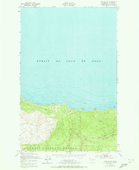
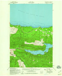
1950 Map of Twin Rivers
USGS Topo · Published 1973About this map
The Strait of Juan de Fuca dominates the northern half of this coastal survey, where its waters meet a shoreline characterized by expansive Tidal Flats. On land, the terrain rises into the northern reaches of the Olympic National Forest, a heavily forested landscape marked by sharp elevation changes and deep drainages. Movement through this coastal corridor is defined by the Port Angeles Neah Bay State Highway, which follows the contours of the coast and provides the primary transit link between these points. The map provides a look at the hydrography of the region just after mid-century, specifically where the West Twin River and East Twin River converge near the coast, and further east where Sadie Creek and Murdock Creek flow toward the strait. These watercourses were critical to the local geography before later 20th-century developments altered the road networks and forest management boundaries.
Find a feature on this map
8 named features on this map. Tap any name to fly to it.
Don’t see what you’re looking for? This feature index may not catch every label — zoom into the map to look around manually.
Map Details
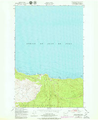
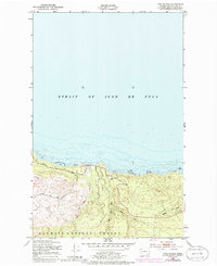
Editions of this 1950 Twin Rivers Map
4 editions found
Other maps of this area

1918 · Lake Crescent
USGS Topo · 1:62,500

1922 · Pysht
USGS Topo · 1:62,500

1922 · Lake Crescent
USGS Topo · 1:62,500

1942 · Pysht
USGS Topo · 1:62,500

1950 · Mount Muller
USGS Topo · 1:24,000

1950 · Twin Rivers
USGS Topo · 1:24,000
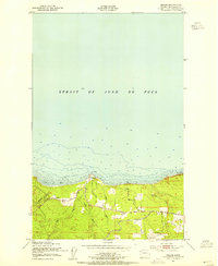
1950 · Disque
USGS Topo · 1:24,000

1950 · Lake Crescent
USGS Topo · 1:24,000
1950 · Lake Crescent
USGS Topo · 1:62,500

1953 · Cape Flattery
USGS Topo · 1:250,000