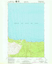
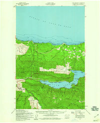
1950 Map of Twin Rivers
USGS Topo · Published 1979About this map
Strait of Juan de Fuca shorelines meet the dense timberlands of the northern Olympic Peninsula in this mid-century topographic study. The drainage patterns of the West Twin River and East Twin River define the local topography as they descend toward the coast, where extensive Tidal Flats and offshore Rock formations present a complex maritime interface. This map, based on 1940s photography and field-checked in 1950, documents the area before significant modern coastal development, showing the southern boundary of the Olympic National Forest. In addition to the primary river systems, the landscape is carved by Sadie Creek and Murdock Creek, which flow through the steep terrain toward the strait. The proximity of the coastal highway to the shoreline suggests the historical importance of this corridor for both logging transit and regional connectivity between remote settlements along the Washington coast.
Find a feature on this map
10 named features on this map. Tap any name to fly to it.
Don’t see what you’re looking for? This feature index may not catch every label — zoom into the map to look around manually.
Map Details
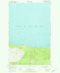
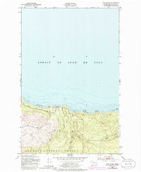
Editions of this 1950 Twin Rivers Map
4 editions found
Other maps of this area

1918 · Lake Crescent
USGS Topo · 1:62,500

1922 · Pysht
USGS Topo · 1:62,500

1922 · Lake Crescent
USGS Topo · 1:62,500

1942 · Pysht
USGS Topo · 1:62,500

1950 · Mount Muller
USGS Topo · 1:24,000

1950 · Twin Rivers
USGS Topo · 1:24,000
1950 · Disque
USGS Topo · 1:24,000

1950 · Lake Crescent
USGS Topo · 1:24,000
1950 · Lake Crescent
USGS Topo · 1:62,500

1953 · Cape Flattery
USGS Topo · 1:250,000