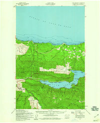
1950 Map of Lake Crescent
USGS Topo · Published 1960About this map
Lake Crescent dominates the southern landscape of this mid-century survey, its deep waters bordered by several small lakeside communities and landings including Fairholm, Ovington, and Piedmont. The northern reach of the map extends to the Strait of Juan de Fuca, where the Lyre River meets the coast near Low Point. This era shows a landscape in transition, where the Old Railroad Grade and Old Grade trace through the timberlands north of the lake, evidence of former logging transit between the coast and the mountain interior. Land use is clearly divided by the Olympic National Forest and Olympic National Park boundaries, with the Soleduck River forks and the Hot Springs Road leading toward the interior peaks of Mount Muller and Sourdough Mtn. Along the northern coastal hills, isolated spots like Gettysburg Ranch and Shadow mark the sparse settlement patterns of Clallam County at this time.
Find a feature on this map
44 named features on this map. Tap any name to fly to it.
Don’t see what you’re looking for? This feature index may not catch every label — zoom into the map to look around manually.
Map Details
Editions of this 1950 Lake Crescent Map
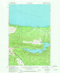
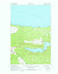
Other maps of this area

1918 · Lake Crescent
USGS Topo · 1:62,500

1919 · Port Crescent
USGS Topo · 1:62,500

1922 · Pysht
USGS Topo · 1:62,500

1922 · Lake Crescent
USGS Topo · 1:62,500

1935 · Mount Olympus
USGS Topo · 1:62,500

1939 · Mount Tom
USGS Topo · 1:62,500

1942 · Pysht
USGS Topo · 1:62,500

1942 · Mount Olympus
USGS Topo · 1:62,500

1943 · Spruce Mountain
USGS Topo · 1:62,500

1943 · Copalis Beach
USGS Topo · 1:250,000