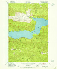
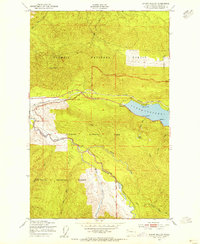
1950 Map of Lake Crescent
USGS Topo · Published 1955About this map
Lake Crescent dominates this mid-century survey, a deep glacial basin held within the Olympic National Park. The shoreline reflects a moment when local rail and early road networks coexisted, with the Port Angeles and Western railroad hugging the northern bank through Piedmont and westward past Ovington. This transit corridor was essential for the timber and tourism of the northern Olympic Peninsula before the complete dominance of the modern highway system.
Find a feature on this map
39 named features on this map. Tap any name to fly to it.
Don’t see what you’re looking for? This feature index may not catch every label — zoom into the map to look around manually.
Map Details
Editions of this 1950 Lake Crescent Map
3 editions found
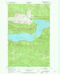

Other maps of this area

1918 · Lake Crescent
USGS Topo · 1:62,500
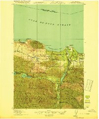
1919 · Port Crescent
USGS Topo · 1:62,500
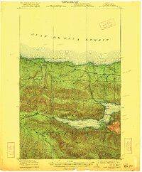
1922 · Lake Crescent
USGS Topo · 1:62,500

1935 · Mount Olympus
USGS Topo · 1:62,500

1939 · Mount Tom
USGS Topo · 1:62,500

1942 · Mount Olympus
USGS Topo · 1:62,500
1950 · Mount Muller
USGS Topo · 1:24,000
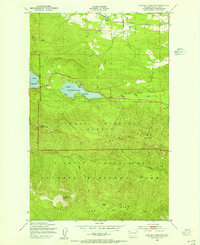
1950 · Lake Sutherland
USGS Topo · 1:24,000
1950 · Twin Rivers
USGS Topo · 1:24,000

1950 · Joyce
USGS Topo · 1:24,000