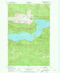
1950 Map of Lake Crescent
USGS Topo · Published 1973About this map
Lake Crescent dominates this mid-century topographic study, showing the transition from industrial utility to recreational conservation. Along its northern and western shores, the Port Angeles and Western railroad and the Olympic Highway provide the primary access to small settlements like Piedmont and Ovington. The map documents the boundary between the Olympic National Forest and Olympic National Park, highlighting the importance of the Ranger Station near Barnes Pt. Deep within the interior, the terrain rises sharply toward Pyramid Mountain and Sourdough Mtn, while the southern reaches capture the headwaters of the Soleduck River. This era reflects a landscape where infrastructure like the Gravel Pit coexisted with natural landmarks such as Marymere Falls and the high Happy Lake Ridge.
Find a feature on this map
38 named features on this map. Tap any name to fly to it.
Don’t see what you’re looking for? This feature index may not catch every label — zoom into the map to look around manually.
Map Details
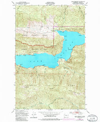
Editions of this 1950 Lake Crescent Map
3 editions found

Other maps of this area

1918 · Lake Crescent
USGS Topo · 1:62,500

1919 · Port Crescent
USGS Topo · 1:62,500

1922 · Lake Crescent
USGS Topo · 1:62,500

1935 · Mount Olympus
USGS Topo · 1:62,500

1939 · Mount Tom
USGS Topo · 1:62,500

1942 · Mount Olympus
USGS Topo · 1:62,500

1950 · Mount Muller
USGS Topo · 1:24,000

1950 · Lake Sutherland
USGS Topo · 1:24,000

1950 · Twin Rivers
USGS Topo · 1:24,000
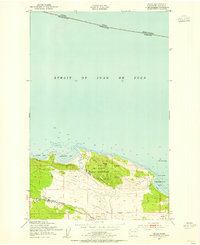
1950 · Joyce
USGS Topo · 1:24,000