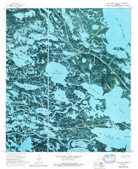
1973 Map of Lake Cuatro Caballo
USGS Topo · Published 1992About this map
Lake Cuatro Caballo and the surrounding marshlands of St. Bernard and Plaquemines Parish are defined by a complex web of coastal hydrology in the early 1970s. This orthophotomap provides a clear view of the transitional landscape where brackish lagoons like Petain Lagoon and Bottle Lagoon meet the larger expanses of Lake Jean Louis Robin. The region’s economic ties to resource extraction are visible through numerous Gas Wells and Drill Holes scattered throughout the wetlands.
Find a feature on this map
36 named features on this map. Tap any name to fly to it.
Don’t see what you’re looking for? This feature index may not catch every label — zoom into the map to look around manually.
Map Details
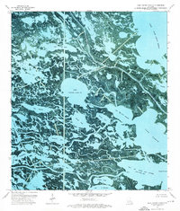
Editions of this 1973 Lake Cuatro Caballo Map
2 editions found
Other maps of this area

1891 · Pointe a La Hache
USGS Topo · 1:62,500

1892 · St. Bernard
USGS Topo · 1:62,500

1892 · Pointe a La Hache
USGS Topo · 1:62,500

1893 · Shell Beach
USGS Topo · 1:62,500

1893 · Dime
USGS Topo · 1:62,500

1935 · Delacroix
USGS Topo · 1:31,680

1935 · Lake Calebasse
USGS Topo · 1:31,680

1935 · Lake Batola
USGS Topo · 1:31,680

1939 · Shell Beach
USGS Topo · 1:62,500

1939 · Pointe a La Hache
USGS Topo · 1:62,500