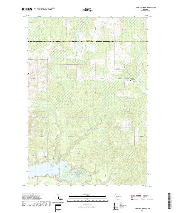
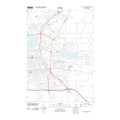
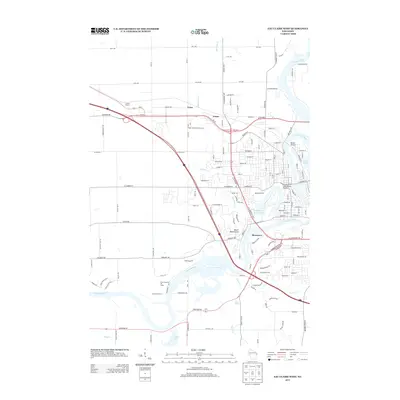
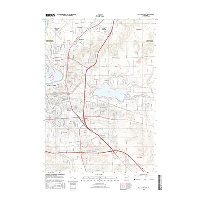
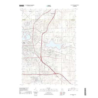
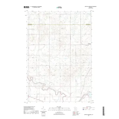
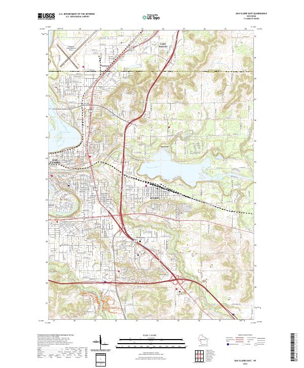
2022 Map of Lake Eau Claire East
USGS Topo · Published 2022About this map
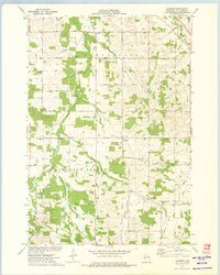
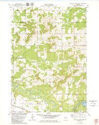
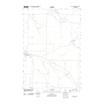
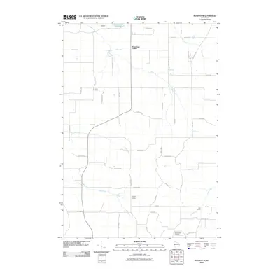
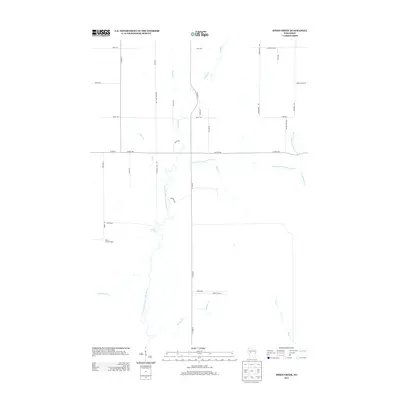
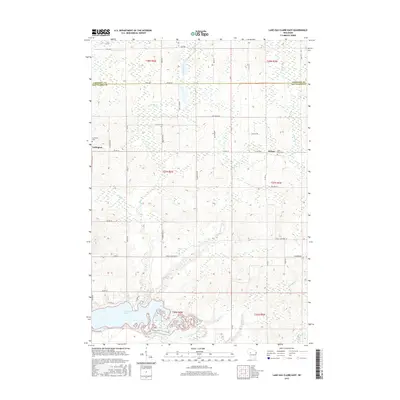
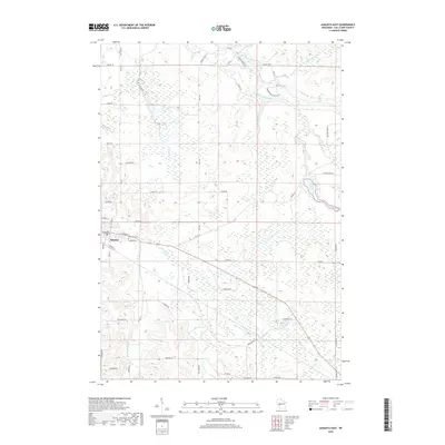
Lake Eau Claire and the winding Eau Claire River dominate the southern landscape of this Wisconsin region, where the Chippewa County and Eau Claire County line cuts across the northern rural sections. The map centers on the small settlements of Ludington and Wilson, highlighting a landscape defined by its creek network, including Sherman Creek, Hay Creek, and Muskrat Creek. Local history is anchored by the Saint Peters Catholic Cemetery near Wilson and the Ludington Cemetery to the west.
Find a feature on this map
36 named features on this map. Tap any name to fly to it.
Don’t see what you’re looking for? This feature index may not catch every label — zoom into the map to look around manually.
Map Details
Editions of this 2022 Lake Eau Claire East Map
This is the sole edition of this map. No revisions or reprints were ever made.
Historical Maps of Edson Through Time
66 maps found
1972 Eau Claire East
Eau Claire County, WI
1972 Eau Claire West
Eau Claire County, WI
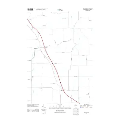
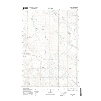
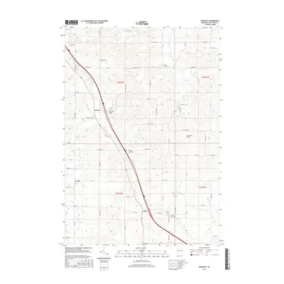
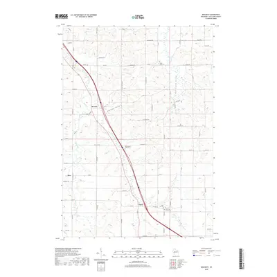
1973 Brackett
Eau Claire County, WI
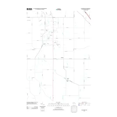
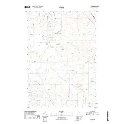
1973 Cleghorn
Eau Claire County, WI
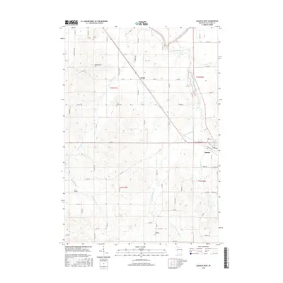
1973 Mondovi NE
Eau Claire County, WI
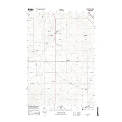
1979 Horse Creek
Eau Claire County, WI
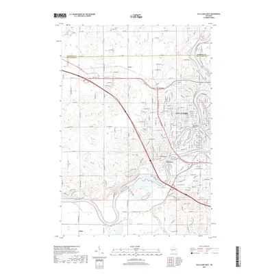
1979 Lake Eau Claire East
Eau Claire County, WI
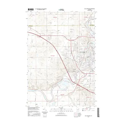
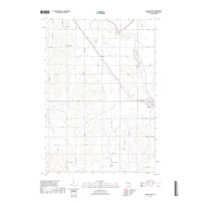
1979 Lake Eau Claire West
Eau Claire County, WI
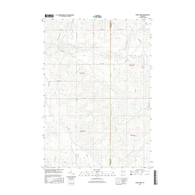
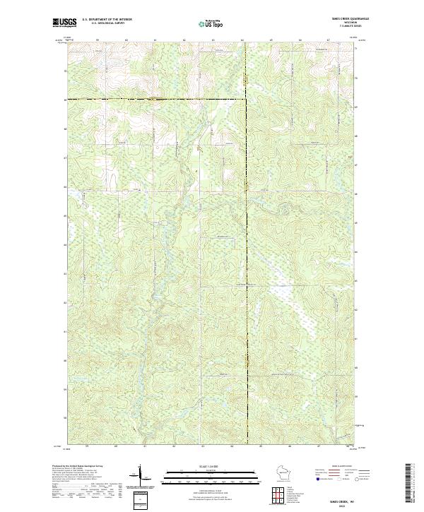
1979 Simes Creek
Eau Claire County, WI
1984 Augusta East
Eau Claire County, WI
1984 Augusta West
Eau Claire County, WI
2010 Augusta East
Eau Claire County, WI
2010 Augusta West
Eau Claire County, WI
2010 Brackett
Eau Claire County, WI
2010 Cleghorn
Eau Claire County, WI
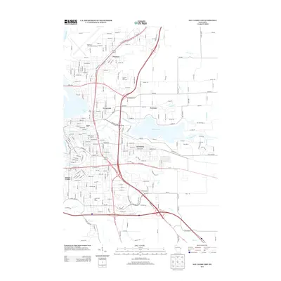
2010 Eau Claire East
Eau Claire County, WI
2010 Eau Claire West
Eau Claire County, WI
2010 Horse Creek
Eau Claire County, WI

2010 Lake Eau Claire East
Eau Claire County, WI
2010 Lake Eau Claire West
Eau Claire County, WI
2010 Mondovi NE
Eau Claire County, WI
2010 Simes Creek
Eau Claire County, WI
2013 Augusta East
Eau Claire County, WI
2013 Augusta West
Eau Claire County, WI
2013 Brackett
Eau Claire County, WI
2013 Cleghorn
Eau Claire County, WI
2013 Eau Claire East
Eau Claire County, WI
2013 Eau Claire West
Eau Claire County, WI
2013 Horse Creek
Eau Claire County, WI
2013 Lake Eau Claire East
Eau Claire County, WI
2013 Lake Eau Claire West
Eau Claire County, WI
2013 Mondovi NE
Eau Claire County, WI
2013 Simes Creek
Eau Claire County, WI
2015 Augusta East
Eau Claire County, WI
2015 Augusta West
Eau Claire County, WI
2015 Brackett
Eau Claire County, WI
2015 Cleghorn
Eau Claire County, WI
2015 Eau Claire East
Eau Claire County, WI
2015 Eau Claire West
Eau Claire County, WI
2015 Horse Creek
Eau Claire County, WI
2015 Lake Eau Claire East
Eau Claire County, WI
2015 Lake Eau Claire West
Eau Claire County, WI
2015 Mondovi NE
Eau Claire County, WI
2015 Simes Creek
Eau Claire County, WI
2018 Augusta East
Eau Claire County, WI
2018 Augusta West
Eau Claire County, WI
2018 Brackett
Eau Claire County, WI
2018 Cleghorn
Eau Claire County, WI
2018 Eau Claire East
Eau Claire County, WI
2018 Eau Claire West
Eau Claire County, WI
2018 Horse Creek
Eau Claire County, WI
2018 Lake Eau Claire East
Eau Claire County, WI
2018 Lake Eau Claire West
Eau Claire County, WI
2018 Mondovi NE
Eau Claire County, WI
2018 Simes Creek
Eau Claire County, WI
2022 Augusta East
Eau Claire County, WI
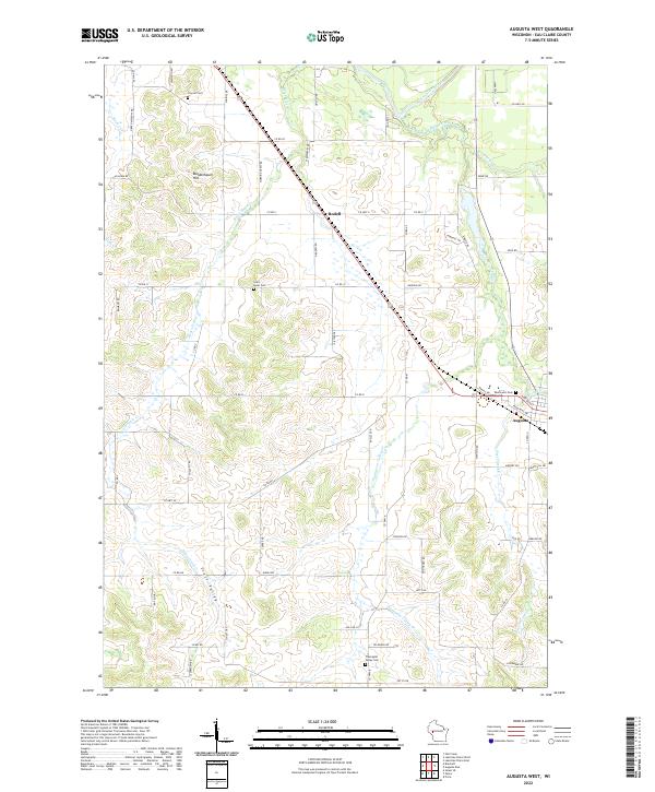
2022 Augusta West
Eau Claire County, WI
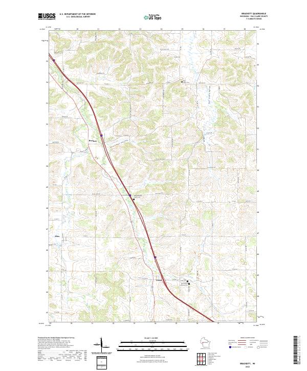
2022 Brackett
Eau Claire County, WI
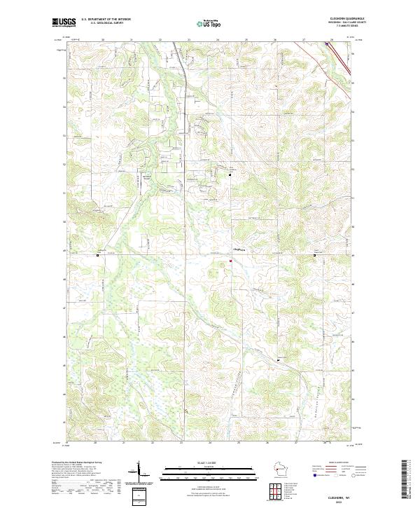
2022 Cleghorn
Eau Claire County, WI
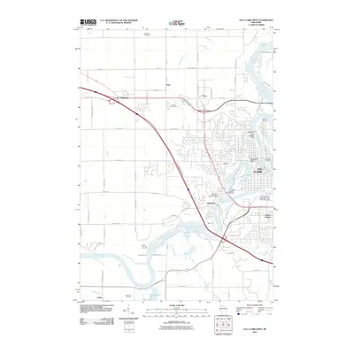
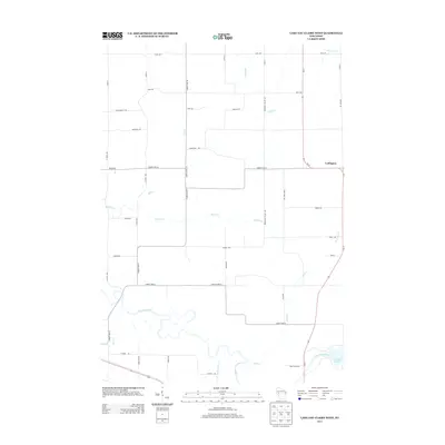
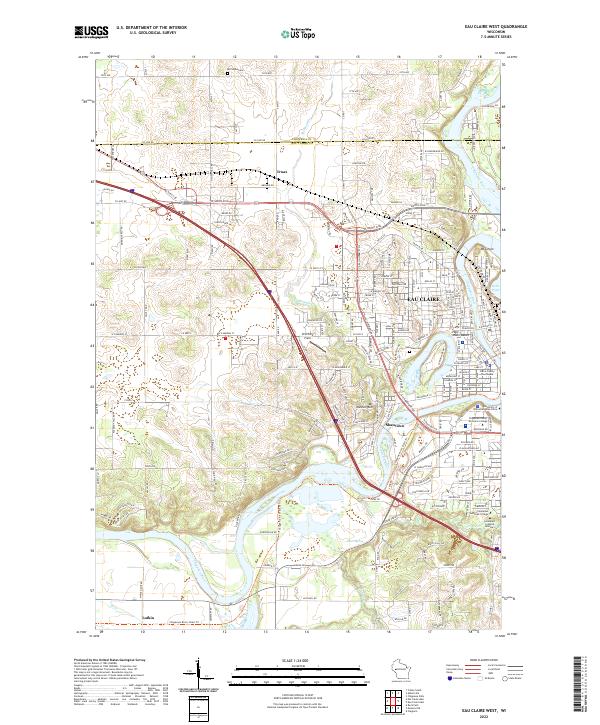
2022 Eau Claire East
Eau Claire County, WI
2022 Eau Claire West
Eau Claire County, WI
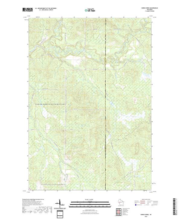
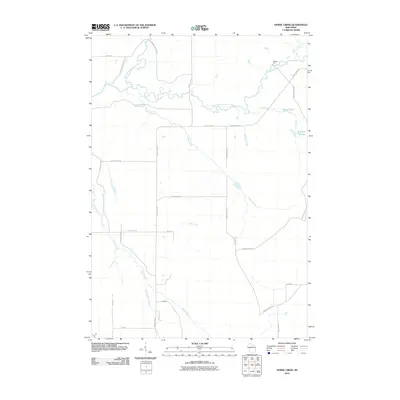
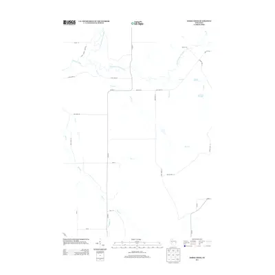
2022 Horse Creek
Eau Claire County, WI
2022 Lake Eau Claire East
Eau Claire County, WI
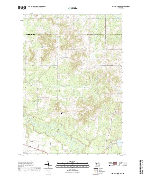
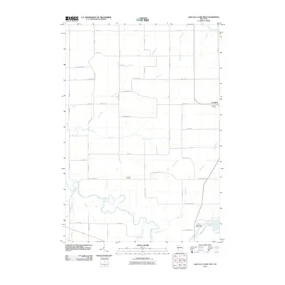
2022 Lake Eau Claire West
Eau Claire County, WI
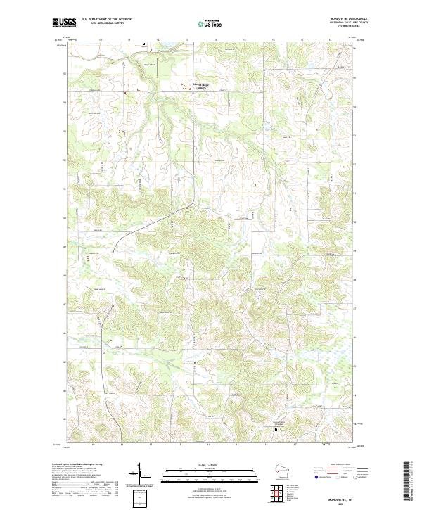
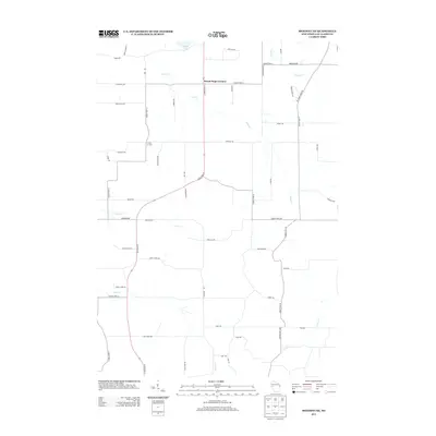
2022 Mondovi NE
Eau Claire County, WI
2022 Simes Creek
Eau Claire County, WI