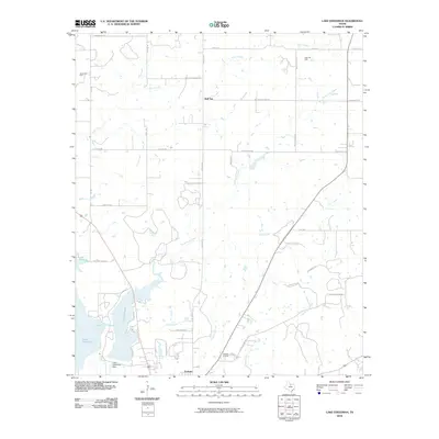
2010 Map of Lake Eddleman
USGS Topo · Published 2010About this map
Lake Eddleman and Lake Graham dominate the southwestern corner of this north-central Texas landscape, their shorelines defining the local topography just north of Graham. This 2010 survey reflects a region where water management and energy extraction are central to the landscape's organization. The presence of the Lake Eddleman Dam and various oil developments, including the James Oil Field, Ligon Oil Field, and Graham Oil Field, indicate the industrial importance of the area. Away from the lakes, the terrain is characterized by a network of creeks like Turtle Hole Creek and Flint Creek, while the settlement of Red Top serves as a northern waypoint. The map includes numerous family-named roads such as Mary Rutherford Rd and L C Young Rd, providing valuable points of reference for genealogists tracing property and residency in Young County.
Find a feature on this map
38 named features on this map. Tap any name to fly to it.
Don’t see what you’re looking for? This feature index may not catch every label — zoom into the map to look around manually.
Map Details
Editions of this 2010 Lake Eddleman Map
This is the sole edition of this map. No revisions or reprints were ever made.
Other maps of this area

1924 · Graham 4-d
USGS Topo · 1:48,000

1925 · Graham 4-c
USGS Topo · 1:48,000

1927 · Graham
USGS Topo · 1:62,500

1954 · Wichita Falls
USGS Topo · 1:250,000

1958 · Wichita Falls
USGS Topo · 1:250,000

1964 · Newcastle
USGS Topo · 1:24,000

1964 · True
USGS Topo · 1:24,000

1964 · Loving
USGS Topo · 1:24,000

1964 · Bryson
USGS Topo · 1:24,000

1964 · Lake Eddleman
USGS Topo · 1:24,000