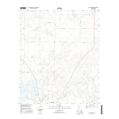
2016 Map of Lake Eddleman
USGS Topo · Published 2016About this map
Lake Eddleman and the northern reaches of Lake Graham dominate the southwestern quadrant of this landscape near the city of Graham. Fed by Salt Creek, these reservoirs are central to the local geography, shaped by the drainage patterns of Farmers Br and Flint Creek. The surrounding terrain is marked by a network of family-named roads and landmarks, including Rocky Mound Rd and Ant Hill Ln, reflecting the rural character of Young County.
Find a feature on this map
48 named features on this map. Tap any name to fly to it.
Don’t see what you’re looking for? This feature index may not catch every label — zoom into the map to look around manually.
Map Details
Editions of this 2016 Lake Eddleman Map
This is the sole edition of this map. No revisions or reprints were ever made.
Other maps of this area

1924 · Graham 4-d
USGS Topo · 1:48,000

1925 · Graham 4-c
USGS Topo · 1:48,000

1927 · Graham
USGS Topo · 1:62,500

1954 · Wichita Falls
USGS Topo · 1:250,000

1958 · Wichita Falls
USGS Topo · 1:250,000

1964 · Newcastle
USGS Topo · 1:24,000

1964 · True
USGS Topo · 1:24,000

1964 · Loving
USGS Topo · 1:24,000

1964 · Bryson
USGS Topo · 1:24,000

1964 · Lake Eddleman
USGS Topo · 1:24,000