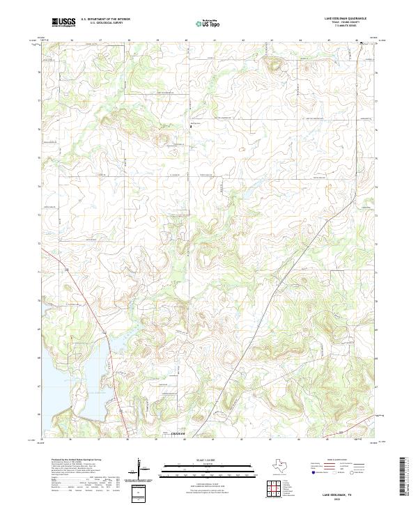
2022 Map of Lake Eddleman
USGS Topo · Published 2022About this map
The northern reaches of Graham give way to the undulating brushlands of northern Young County, where the landscape is defined by the drainage network feeding into Lake Eddleman. This survey captures the rural character of the region as it appeared in the early 2020s, showing a mix of established family-named landmarks and recent residential developments. Water is a primary feature, with Turtle Hole Creek and Flint Creek carving through the terrain towards the reservoir. Genealogists and local historians can locate several important regional landmarks, including Red Top Cem along Red Top Cemetery Rd and the Loving Cem in the northeast corner. The road network, including Indian Mound Rd and Flat Top Mtn Rd, reflects both the traditional ranching routes and the modern infrastructure surrounding the lake and the Airport Hill Dr area.
Find a feature on this map
49 named features on this map. Tap any name to fly to it.
Don’t see what you’re looking for? This feature index may not catch every label — zoom into the map to look around manually.
Map Details
Editions of this 2022 Lake Eddleman Map
This is the sole edition of this map. No revisions or reprints were ever made.
Other maps of this area

1924 · Graham 4-d
USGS Topo · 1:48,000

1925 · Graham 4-c
USGS Topo · 1:48,000

1927 · Graham
USGS Topo · 1:62,500

1954 · Wichita Falls
USGS Topo · 1:250,000

1958 · Wichita Falls
USGS Topo · 1:250,000

1964 · Newcastle
USGS Topo · 1:24,000

1964 · True
USGS Topo · 1:24,000

1964 · Loving
USGS Topo · 1:24,000

1964 · Bryson
USGS Topo · 1:24,000

1964 · Lake Eddleman
USGS Topo · 1:24,000