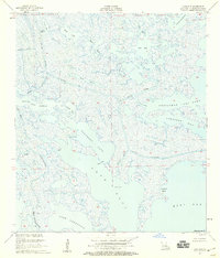
1955 Map of Lake Eloi
USGS Topo · Published 1959About this map
Lake Eloi Light stands as a vital navigational marker within this intricate network of marshlands and open water in St. Bernard Parish. The landscape is defined by a maze of tidal passes and lagoons, where major arteries like Bayou La Loutre and Bayou Eloi cut through the wetlands toward the open waters of Eloi Bay. The presence of the Engineers Canal and Spoil Bank Canal in the northwest indicates early mid-century hydraulic modification of these coastal reaches. From the northern expanse of Drum Lake to the southern shores of Lake Athanasio, the map documents a shifting environment of mudflats and shallow bays, including the curiously named Christmas Camp Lake and the storied Treasure Bay. This mid-1950s survey captures the region's topography just as aerial photography was beginning to refine the mapping of Louisiana's complex, low-lying deltaic fringe.
Find a feature on this map
31 named features on this map. Tap any name to fly to it.
Don’t see what you’re looking for? This feature index may not catch every label — zoom into the map to look around manually.
Map Details
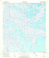
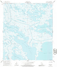
Editions of this 1955 Lake Eloi Map
3 editions found
Other maps of this area

1893 · La Fortuna
USGS Topo · 1:62,500

1893 · Shell Beach
USGS Topo · 1:62,500

1893 · Dime
USGS Topo · 1:62,500

1895 · Bodreau
USGS Topo · 1:62,500

1935 · Morgan Harbor
USGS Topo · 1:31,680

1935 · Lake Athanasio
USGS Topo · 1:31,680

1935 · Lake Calebasse
USGS Topo · 1:31,680

1939 · Shell Beach
USGS Topo · 1:62,500

1941 · Black Bay
USGS Topo · 1:62,500

1941 · Shell Beach
USGS Topo · 1:62,500