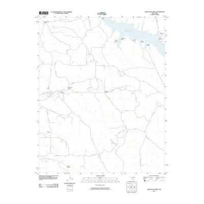
2010 Map of Lake Eucha West
USGS Topo · Published 2010About this map
Lake Eucha dominates the northern landscape of this Oklahoma quadrangle, held back by the Eucha Dam. The surrounding terrain is defined by a dense network of timbered drainages and family-named landmarks that speak to the area's ancestral roots. To the east of the reservoir, the Old Eucha Cemetery remains as a critical point of interest for genealogists, while the Welsh Cemetery sits further south near the winding path of Saline Creek. This rural landscape is deeply etched with narrow hollows like Big Acorn Hollow, Proctor Hollow, and Galcatcher Hollow, indicating a topographical pattern where settlement and travel historically followed the low-lying creek beds and gaps between ridges. The road network, including Kenwood Rd and School Rd, connects these isolated valleys to the broader regional geography near the Little Saline Creek.
Find a feature on this map
42 named features on this map. Tap any name to fly to it.
Don’t see what you’re looking for? This feature index may not catch every label — zoom into the map to look around manually.
Map Details
Editions of this 2010 Lake Eucha West Map
This is the sole edition of this map. No revisions or reprints were ever made.
Other maps of this area

1896 · Pryor
USGS Topo · 1:125,000

1899 · Siloam Springs
USGS Topo · 1:125,000

1901 · Pryor
USGS Topo · 1:125,000

1903 · Siloam Springs
USGS Topo · 1:125,000

1904 · Siloam Springs
USGS Topo · 1:125,000

1954 · Tulsa
USGS Topo · 1:250,000

1958 · Tulsa
USGS Topo · 1:250,000

1963 · Tulsa
USGS Topo · 1:250,000

1971 · Kenwood
USGS Topo · 1:24,000

1971 · Jay SE
USGS Topo · 1:24,000