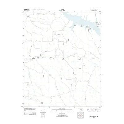
2012 Map of Lake Eucha West
USGS Topo · Published 2012About this map
Lake Eucha dominates the northeastern corner of this Delaware County landscape, its western reaches branching into fingers that fill narrow valleys like Soldier Hollow and Hider Hollow. South of the water, the settlement of Old Eucha is positioned near the upland area of Tagg Flats, while the community of Kenwood sits further west along the banks of Saline Cr. The map reveals a deeply dissected terrain characterized by numerous named hollows, including Ben Smith Hollow and Proctor Hollow, reflecting the drainage patterns of the Ozark plateau.
Find a feature on this map
54 named features on this map. Tap any name to fly to it.
Don’t see what you’re looking for? This feature index may not catch every label — zoom into the map to look around manually.
Map Details
Editions of this 2012 Lake Eucha West Map
This is the sole edition of this map. No revisions or reprints were ever made.
Other maps of this area

1896 · Pryor
USGS Topo · 1:125,000

1899 · Siloam Springs
USGS Topo · 1:125,000

1901 · Pryor
USGS Topo · 1:125,000

1903 · Siloam Springs
USGS Topo · 1:125,000

1904 · Siloam Springs
USGS Topo · 1:125,000

1954 · Tulsa
USGS Topo · 1:250,000

1958 · Tulsa
USGS Topo · 1:250,000

1963 · Tulsa
USGS Topo · 1:250,000

1971 · Kenwood
USGS Topo · 1:24,000

1971 · Jay SE
USGS Topo · 1:24,000