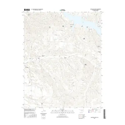
2016 Map of Lake Eucha West
USGS Topo · Published 2016About this map
Old Eucha and the surrounding river valleys in the Ozark foothills are documented here during the mid-2010s. The landscape is defined by the impounded waters of Lake Eucha to the north and the winding course of Saline Cr through the center of the quadrangle. This area of Delaware County is characterized by numerous named drainages, or hollows, that break the upland plateaus, such as Groundhog Hollow and Big Acorn Hollow.
Find a feature on this map
61 named features on this map. Tap any name to fly to it.
Don’t see what you’re looking for? This feature index may not catch every label — zoom into the map to look around manually.
Map Details
Editions of this 2016 Lake Eucha West Map
This is the sole edition of this map. No revisions or reprints were ever made.
Other maps of this area

1896 · Pryor
USGS Topo · 1:125,000

1899 · Siloam Springs
USGS Topo · 1:125,000

1901 · Pryor
USGS Topo · 1:125,000

1903 · Siloam Springs
USGS Topo · 1:125,000

1904 · Siloam Springs
USGS Topo · 1:125,000

1954 · Tulsa
USGS Topo · 1:250,000

1958 · Tulsa
USGS Topo · 1:250,000

1963 · Tulsa
USGS Topo · 1:250,000

1971 · Kenwood
USGS Topo · 1:24,000

1971 · Jay SE
USGS Topo · 1:24,000