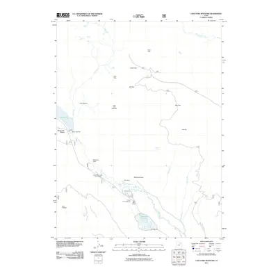
2011 Map of Lake Fork Mountain
USGS Topo · Published 2011About this map
Moon Lake Resort sits at the western edge of this High Uintas landscape, where the waters of Moon Lake are managed by the Moon Lake Dam. The high-elevation terrain is defined by a series of open meadows and high-country flats, including Bear Park, Center Park, and the expansive Flea Flat. These openings in the timber reflect a long history of seasonal grazing and water management, evidenced by features such as the Lake Fork Corral and the Upper Moon Lake Canal Bridge.
Find a feature on this map
29 named features on this map. Tap any name to fly to it.
Don’t see what you’re looking for? This feature index may not catch every label — zoom into the map to look around manually.
Map Details
Editions of this 2011 Lake Fork Mountain Map
This is the sole edition of this map. No revisions or reprints were ever made.
Other maps of this area

1885 · Uinta
USGS Topo · 1:250,000

1901 · Hayden Peak
USGS Topo · 1:125,000

1903 · Hayden Peak
USGS Topo · 1:125,000

1905 · Gilbert Peak
USGS Topo · 1:125,000

1906 · Gilbert Peak
USGS Topo · 1:125,000

1939 · Duchesne
USGS Topo · 1:125,000

1954 · Salt Lake City
USGS Topo · 1:250,000

1958 · Salt Lake City
USGS Topo · 1:250,000

1960 · Salt Lake City
USGS Topo · 1:250,000

1962 · Dry Mountain
USGS Topo · 1:24,000