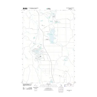
2011 Map of Lake Geneva
USGS Topo · Published 2011About this map
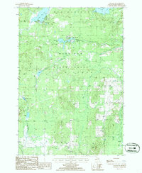
Canada Creek Ranch defines much of the residential and recreational layout in this part of Montmorency County. This private club community, established in the early 20th century, is organized around Lake Geneva and Virginia Lake, featuring a dense network of specialized roads and trails such as Echo Valley Trl, Wintergreen Trl, and Feather Fern Trl. These names suggest a landscape deeply integrated with the surrounding forest and wetland environment.
Find a feature on this map
58 named features on this map. Tap any name to fly to it.
Don’t see what you’re looking for? This feature index may not catch every label — zoom into the map to look around manually.
Map Details
Editions of this 2011 Lake Geneva Map
This is the sole edition of this map. No revisions or reprints were ever made.
Other maps of this area
1954 · Hetherton
USGS Topo · 1:62,500
1955 · Atlanta
USGS Topo · 1:62,500

1955 · Cheboygan
USGS Topo · 1:250,000
1957 · Tower
USGS Topo · 1:62,500
1957 · Onaway
USGS Topo · 1:62,500

1958 · Cheboygan
USGS Topo · 1:250,000
1982 · Petoskey
USGS Topo · 1:100,000
1986 · Onaway
USGS Topo · 1:24,000
1986 · Silver Lake
USGS Topo · 1:24,000
1986 · Atlanta SE
USGS Topo · 1:24,000
Featured Places
- Canada Creek Ranch, MI
- Montmorency Township, MI
- Allis Township, MI
- Forest Township, MI
- Cheboygan County, MI