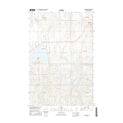
2016 Map of Lake George
USGS Topo · Published 2016About this map
Lake George sits at the heart of this Hubbard County landscape, surrounded by a dense network of glacial lakes and northern forests. The settlement of Lake George serves as a local hub near the shores of Paine Lake, while Kabekona Corner marks a junction to the northeast. This 2016 survey illustrates the extensive recreational and natural infrastructure of the region, prominently featuring the N Country National Scenic Trail as it winds through the timberland.
Find a feature on this map
47 named features on this map. Tap any name to fly to it.
Don’t see what you’re looking for? This feature index may not catch every label — zoom into the map to look around manually.
Map Details
Editions of this 2016 Lake George Map
This is the sole edition of this map. No revisions or reprints were ever made.
Other maps of this area

1954 · Bemidji
USGS Topo · 1:250,000

1957 · Bemidji
USGS Topo · 1:250,000

1958 · Bemidji
USGS Topo · 1:250,000

1968 · Guthrie
USGS Topo · 1:24,000

1968 · Frontenac Lake
USGS Topo · 1:24,000
1972 · Mantrap Lake
USGS Topo · 1:24,000
1972 · East Crooked Lake
USGS Topo · 1:24,000

1972 · Laporte
USGS Topo · 1:24,000

1972 · Lake George
USGS Topo · 1:24,000
1972 · Lake Hattie
USGS Topo · 1:24,000
Featured Places
- Lake George, MN
- Ken and Debi Lathrop Mobile Home Park, MN
- Kabekona Corner, MN
- Lake George Pines Mobile Home Park, MN
- Hubbard County, MN