
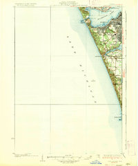
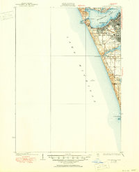
1936 Map of Lake Harbor
USGS Topo · Published 1936About this map
The industrialized shoreline of Lake Michigan comes into sharp focus during the early 1930s, defined by the major ports and rail hubs of Muskegon and Muskegon Heights. This survey by Daniel Kennedy documents the dense urban grid between Muskegon Lake and Mona Lake, where the P M RY and G T RY railroads supported the region's shipping and manufacturing economy. Along the coast, the topography transitions from the residential streets of Lakeside and Interlaken to the preserved dunes of Muskegon State Park and Pere Marquette Park. Local landmarks like Pigeon Hill and the winding Scenic Drive illustrate the coastal character of the era, while inland labels such as Maple Grove Sch and School No 4 provide essential reference points for genealogists and local historians tracking the growth of Laketon and Norton townships.
Find a feature on this map
31 named features on this map. Tap any name to fly to it.
Don’t see what you’re looking for? This feature index may not catch every label — zoom into the map to look around manually.
Map Details
Editions of this 1936 Lake Harbor Map
3 editions found
Other maps of this area

1929 · Montague
USGS Topo · 1:48,000

1929 · Holland
USGS Topo · 1:62,500

1930 · Lake Harbor
USGS Topo · 1:48,000

1930 · Muskegon
USGS Topo · 1:62,500

1932 · Holland
USGS Topo · 1:62,500

1936 · Muskegon
USGS Topo · 1:62,500

1954 · Milwaukee
USGS Topo · 1:250,000

1958 · Milwaukee
USGS Topo · 1:250,000

1958 · Twin Lake
USGS Topo · 1:62,500

1958 · Racine
USGS Topo · 1:250,000