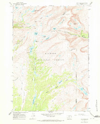
1967 Map of Lake Helen
USGS Topo · Published 1972About this map
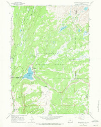
Bighorn National Forest defines this high-altitude landscape in the Cloud Peak area, where massive peaks and alpine lakes dictate the geography. The map centers on the drainage of West Tensleep Creek and Paint Rock Creek, showing a network of historic trails that provided the only access through these summits in the late 1960s. Bomber Mountain and Mather Peaks tower over dozens of glacial basins, including Lake Helen, Mistymoon Lake, and the remote Golden Lakes.
Find a feature on this map
36 named features on this map. Tap any name to fly to it.
Don’t see what you’re looking for? This feature index may not catch every label — zoom into the map to look around manually.
Map Details
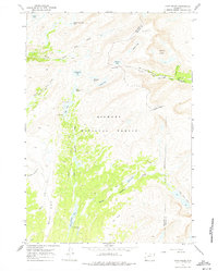
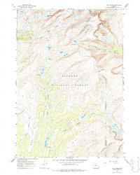
Editions of this 1967 Lake Helen Map
3 editions found
Other maps of this area

1899 · Cloud peak
USGS Topo · 1:125,000

1901 · Cloud Peak
USGS Topo · 1:125,000

1955 · Sheridan
USGS Topo · 1:250,000

1958 · Sheridan
USGS Topo · 1:250,000

1960 · Shell Lake
USGS Topo · 1:24,000

1960 · Lake Solitude
USGS Topo · 1:24,000

1962 · Sheridan
USGS Topo · 1:250,000

1967 · Brokenback Narrows
USGS Topo · 1:24,000
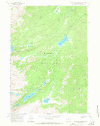
1967 · Willow Park Reservoir
USGS Topo · 1:24,000
1967 · Meadowlark Lake
USGS Topo · 1:24,000