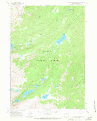
1967 Map of Willow Park Reservoir
USGS Topo · Published 1971About this map
Bighorn National Forest serves as the backdrop for this high-altitude hydrological network within the Big Horn Mountains of Wyoming. The terrain is defined by a dense concentration of alpine lakes and basins, including the distinctively named Frying Pan Lake and Flatiron Lake. At the center of the drainage system, the Willow Park Reservoir is monitored by a Gaging Sta, reflecting the importance of water management in this arid mountain environment.
Find a feature on this map
25 named features on this map. Tap any name to fly to it.
Don’t see what you’re looking for? This feature index may not catch every label — zoom into the map to look around manually.
Map Details
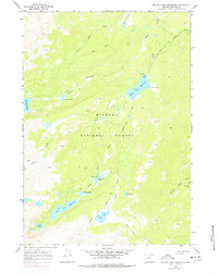
Editions of this 1967 Willow Park Reservoir Map
2 editions found
Other maps of this area

1895 · Dayton
USGS Topo · 1:125,000

1899 · Cloud peak
USGS Topo · 1:125,000

1900 · Fort McKinney
USGS Topo · 1:125,000

1901 · Cloud Peak
USGS Topo · 1:125,000

1901 · Dayton
USGS Topo · 1:125,000

1903 · Fort McKinney
USGS Topo · 1:125,000

1909 · Sheridan
USGS Topo · 1:125,000

1911 · Sheridan
USGS Topo · 1:125,000

1955 · Sheridan
USGS Topo · 1:250,000

1958 · Sheridan
USGS Topo · 1:250,000