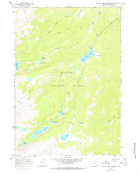
1967 Map of Willow Park Reservoir
USGS Topo · Published 1977About this map
Bighorn National Forest serves as the backdrop for this high-altitude hydrological study in Johnson County, Wyoming. The landscape is defined by its complex drainage network, where North Piney Creek and South Piney Creek navigate a terrain of glacial lakes and managed water systems. Significant mountain water storage is documented at Cloud Peak Reservoir, Willow Park Reservoir, and Kearny Lake Res, illustrating the importance of high-country runoff to regional water management in the late 1960s.
Find a feature on this map
23 named features on this map. Tap any name to fly to it.
Don’t see what you’re looking for? This feature index may not catch every label — zoom into the map to look around manually.
Map Details
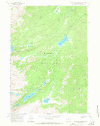
Editions of this 1967 Willow Park Reservoir Map
2 editions found
Other maps of this area

1895 · Dayton
USGS Topo · 1:125,000

1899 · Cloud peak
USGS Topo · 1:125,000

1900 · Fort McKinney
USGS Topo · 1:125,000

1901 · Cloud Peak
USGS Topo · 1:125,000

1901 · Dayton
USGS Topo · 1:125,000

1903 · Fort McKinney
USGS Topo · 1:125,000

1909 · Sheridan
USGS Topo · 1:125,000

1911 · Sheridan
USGS Topo · 1:125,000

1955 · Sheridan
USGS Topo · 1:250,000

1958 · Sheridan
USGS Topo · 1:250,000