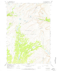
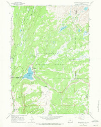
1967 Map of Lake Helen
USGS Topo · Published 1975About this map
Bighorn National Forest dominates this high-altitude landscape in the late 1960s, defined by the convergence of the Big Horn and Johnson County line. The terrain is characterized by a dense network of glacial basins and alpine summits, including the prominent Mather Peaks and Bald Ridge. A primary route for backcountry travel is the Solitude Trail, which links the waters of Mistymoon Lake and Florence Lake via the strategic high point at Florence Pass.
Find a feature on this map
31 named features on this map. Tap any name to fly to it.
Don’t see what you’re looking for? This feature index may not catch every label — zoom into the map to look around manually.
Map Details
Editions of this 1967 Lake Helen Map
3 editions found
Other maps of this area

1899 · Cloud peak
USGS Topo · 1:125,000

1901 · Cloud Peak
USGS Topo · 1:125,000

1955 · Sheridan
USGS Topo · 1:250,000

1958 · Sheridan
USGS Topo · 1:250,000

1960 · Shell Lake
USGS Topo · 1:24,000

1960 · Lake Solitude
USGS Topo · 1:24,000

1962 · Sheridan
USGS Topo · 1:250,000

1967 · Brokenback Narrows
USGS Topo · 1:24,000
1967 · Willow Park Reservoir
USGS Topo · 1:24,000
1967 · Meadowlark Lake
USGS Topo · 1:24,000