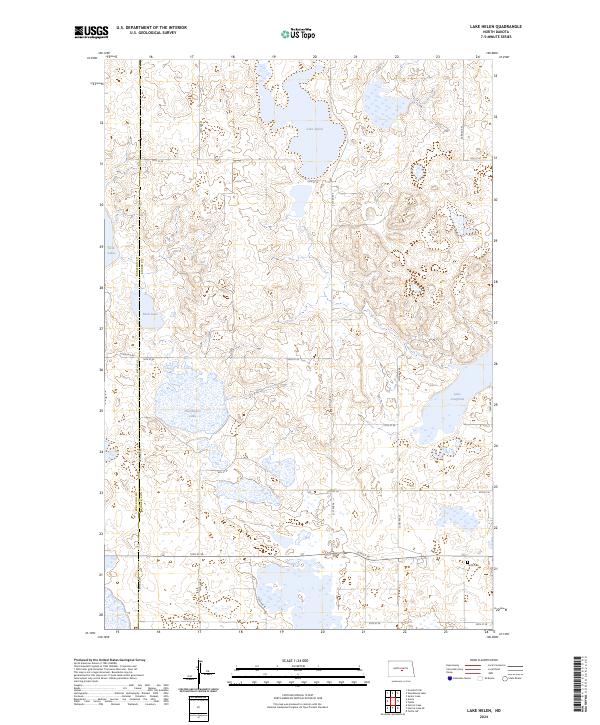
2024 Map of Lake Helen
USGS Topo · Published 2024About this map
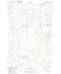
Hutchinson Lake National Wildlife Refuge and the surrounding prairie pothole region of North Dakota define this modern landscape. This map captures the intricate network of wetlands and seasonal water bodies characteristic of the Missouri Coteau, including Lake Helen, Rush Lake, and the larger Lake Josephine to the east. The terrain is a complex pattern of glacially formed depressions, many of which are protected within the Kidder County Waterfowl Production Area and the Burleigh County Waterfowl Production Area. Human settlement is sparse, organized by the section lines of the Public Land Survey System, with the Tuttle Cem providing a notable genealogical landmark in the southeastern corner. The boundary between Burleigh and Kidder counties runs vertically through the western portion of the sheet, dividing a landscape of section roads like 19th St SE and 344th Ave NE.
Find a feature on this map
23 named features on this map. Tap any name to fly to it.
Don’t see what you’re looking for? This feature index may not catch every label — zoom into the map to look around manually.
Map Details
Editions of this 2024 Lake Helen Map
This is the sole edition of this map. No revisions or reprints were ever made.
Other maps of this area

1952 · New Rockford
USGS Topo · 1:250,000

1954 · McClusky
USGS Topo · 1:250,000

1956 · New Rockford
USGS Topo · 1:250,000

1958 · McClusky
USGS Topo · 1:250,000

1971 · New Rockford
USGS Topo · 1:250,000

1972 · Tuttle
USGS Topo · 1:24,000
1972 · Tuttle SW
USGS Topo · 1:24,000
1978 · Goodrich SW
USGS Topo · 1:24,000
1978 · Senior Lake
USGS Topo · 1:24,000
1978 · Woodhouse Lake
USGS Topo · 1:24,000