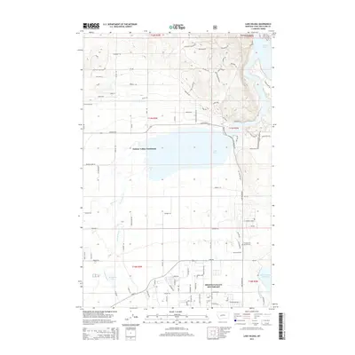
2014 Map of Lake Helena
USGS Topo · Published 2014About this map
Lake Helena and the surrounding basin of Lewis and Clark County are defined by a complex network of irrigation and water management, including the Helena Valley Canal and the Helena Valley Reservoir. This landscape represents a modern Montana intersection of agricultural heritage and suburban growth, where residential developments like Helena Valley Southeast and Helena Valley Northeast spread across the valley floor. The hydrology is central to the area's character, with Prickly Pear Cr and Tenmile Cr feeding into the lake, while the northern reaches of the map show the waters of Hauser Lake behind the dam. Local history remains visible through features such as the Hardgrove & Merritt Cem, which sits near the foot of Emerald Ridge. Notable terrain landmarks like Sleeping Giant View and Mountain Meadows overlook the increasingly structured grid of roads and waterworks.
Find a feature on this map
99 named features on this map. Tap any name to fly to it.
Don’t see what you’re looking for? This feature index may not catch every label — zoom into the map to look around manually.
Map Details
Editions of this 2014 Lake Helena Map
This is the sole edition of this map. No revisions or reprints were ever made.
Other maps of this area

1886 · Fort Logan
USGS Topo · 1:250,000

1889 · Helena
USGS Topo · 1:250,000

1893 · Helena
USGS Topo · 1:250,000

1899 · Helena
USGS Topo · 1:62,500

1899 · Helena
USGS Topo · 1:250,000

1903 · Helena
USGS Topo · 1:250,000

1947 · Butte
USGS Topo · 1:250,000

1948 · White Sulphur Springs
USGS Topo · 1:250,000

1950 · East Helena
USGS Topo · 1:62,500

1950 · Helena
USGS Topo · 1:62,500